

3.6 Magnitude Quake Rattles Waimanalo, Oahu
By Wendy Osher
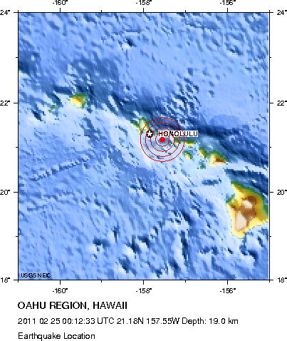
Map courtesy USGS.
(Update: 2:55 p.m. 2/24/11)
The USGS has revised its magnitude and location of a quake reported at 2:12 this afternoon in the Hawaiian Islands. The US Geological Survey now says the quake was a 3.6 magnitude tremor centered 2 miles South West of Waimanalo, Oahu–in the Kaiwi Channel between Oahu and Molokai.
There was no tsunami expected according to officials with the Pacific Tsunami Warning Center. The agency said the quake was widely felt on the island of Oahu.
The quake was located at 21.330°N, 157.740°W, at a depth of 4 km (2.5 miles).
The distance of the quake from other locations in the islands is as follows:
- 3 km (2 miles) SW (214°) from Waimanalo, HI
- 4 km (3 miles) W (265°) from Waimanalo Beach, HI
- 6 km (4 miles) SSE (158°) from Maunawili, HI
- 9 km (6 miles) ENE (75°) from Honolulu, HI
*** Source: NOAA Pacific Tsunami Warning Center
__________________________________________
(Update: 2:29 p.m. 2/24/11)
A minor earthquake occurred at 2:12 p.m. today, Thursday, February 24, 2011. The 3.3 magnitude earthquake was centered 28 miles south of Lana`i City at a depth of 4.2 miles.
The Pacific Tsunami Warning Center in Ewa Beach reports that the quake was widely felt on Oahu. The agency says no tsunami is expected.
The distance of the epicenter from other locations in Hawaii is as follows:
- Lana`i City, Lana`i – 45 km (28 miles) S (191 degrees)
- Olowalu, Maui – 58 km (36 miles) SW (223 degrees)
- Lahaina, Maui – 60 km (37 miles) SW (214 degrees)
- Kahului, Maui – 75 km (47 miles) SW (227 degrees)
The exact coordinates of the quake, according to the Hawaii Volcano Observatory was: Coordinates 20 deg. 26.1 min. N (20.434N), 157 deg. 0.2 min. W (157.003W).
Sponsored Content


