

VIDEO: Meteorologist Provides Maui Briefing on Hurricane Season
By Wendy Osher
[flashvideo file=http://www.youtube.com/watch?v=Ao5yuuwOhFs /] With the Hawai’i Hurricane Season now officially underway, we took the opportunity to sit down with meteorologists to discuss the outlook and potential for severe weather in Maui County and across the state.
Michael Cantin, Warning Coordination Meteorologist with the National Weather Service Forecast Office in Honolulu, said that while the forecast calls for a below normal season with fewer storms, he said “all it takes is one, and that could be the one that gets us.”
A season forecast from the Central Pacific Hurricane Center calls for 2-4 cyclones this year, below the typical 4-5 cyclones forecast annually.
“Typically, our storms will come from Central America and work their way East to West across the Pacific,” said Cantin. “They tend to drift south of the islands, based upon our weather patterns,” said Cantin, who noted that the island trade-wind pattern helps to deflect storms in that way.
“We need to watch out when our trade-wind pattern in disrupted–that leaves the door open for storms to come in either from the East, South-East, or from the South that can work their way back to the state,” said Cantin.
Cantin said that as a storm approaches, the East and North-East sides of the storm are typically the most dangerous. “That’s where you’re going to see the strongest winds and the biggest potential for deep, strong storm surge,” although all sides of the storm can cause potential for damage.
The season for tropical cyclones in the Central Pacific that includes Hawai’i, runs from June 1 to November 30, but most storms tend to appear in July, August and September, according to Cantin. “We’ve recorded storms in the last 40 years, in every month of the year except for February and May, so the season is really all year, but the peak runs from June to November,” said Cantin.
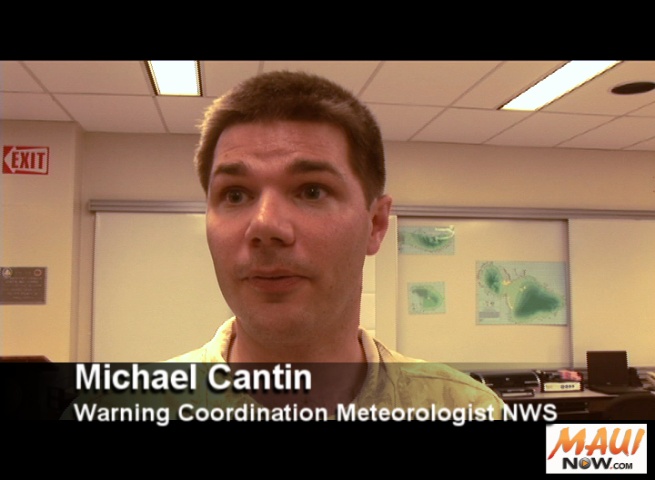
Michael Cantin, Warning Coordination Meteorologist with the National Weather Service Forecast Office in Honolulu. Photo by Wendy Osher.
There are three categories of storms that the National Weather Service tracks, releasing forecasts and advisories accordingly.
- A Tropical Depression has winds up to 38 mph.
- A Tropical Storm is defined as a system with winds between 39-73 mph. Once it has reached storm status, a name is issued for the system.
- A Hurricane is a system with winds of 74 mph or higher. It will keep the same name as when it was a tropical storm.
The impacts from a tropical cyclone can include heavy rain, wind gusts, storm surge and flooding. “As you progress up the scale toward a hurricane, you’re talking more wind damage,” said Cantin. “Storm surge would also be a big deal where the winds push up the ocean surface and the ocean rushes in,” said Cantin, who said that unlike a tsunami that pulls water in an out, a storm surge will push water onshore, with water levels remaining elevated until winds die down.
“Typically there’s more rain with a depression or storm, and more wind with a hurricane,” said Cantin, “but really you could get all three impacts,” he said.
Cantin offered some tips for hurricane preparedness kits. Items he suggested include:
- 2 weeks worth of food and water per person
- 10 day supply of medication per person
- official records stored in a plastic bag
- batteries
- flashlights
- radio
- fuel in your vehicle
“The key is to start early and do it little by little,” said Cantin, who said that with a base in place, residents can then recycle food items out as they get older and replace them with new items. That way, he said, “you’re set and ready to go.”
Sponsored Content


