

Small North reinforcement while South goes quiet
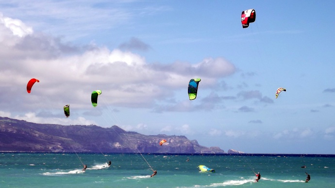
Maui kite-surfing / Image: Asa Ellison
By Meteorologist Malika Dudley / Email: [email protected]
Our current north swell (350-10°) continues to slowly fade as ANA generates a reinforcement of short-period north swell (355-15°). This one is pretty small with only knee to waist high waves expected today for best exposed shorelines.
On the west side, breaks exposed to this swell could catch knee to thigh high waves at the best spots. No north exposure = pretty flat conditions.
A slightly larger north swell is expected to slowly start building late Wednesday bringing overhead waves by Friday. Larger short period easterly swells area expected late in the week as trade winds strengthen.
Our small south-southwest (200-190°) swell has dropped down to trace amounts. Another small boost is expected by mid-week offering knee to waist high surf, possibly bigger at the best exposures on Wednesday. After that swell fades out, surf goes quiet with not much on the horizon out of the South Pacific.
ANA is now an extratropical storm and has begun to merge with a storm south of the Aleutians. This will help to boost surf heights for north exposures late Wednesday into Thursday.
Keep in mind, surf heights are measured on the face of the wave from trough to crest. Heights vary from beach to beach, and at the same beach, from break to break.
**Click here for Meteorologist Malika Dudley’s full weather forecast.**
Sponsored Content


