

February 02, 2018 Surf Forecast
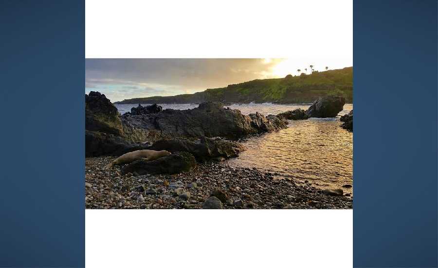
Photo Credit: Chris Archer / ArcherShoots
Swell Summary
Outlook through Thursday February 08: The current northwest swell will begin subsiding tomorrow as a larger northwest swell arrives. The new swell will likely produce warning level surf by Friday night and continuing through Saturday night. Advisory level surf is expected through the weekend. The swell will gradually subside through Thursday.
Surf heights are forecast heights of the face, or front, of waves. The surf forecast is based on the significant wave height, the average height of the one third largest waves, at the locations of the largest breakers. Some waves may be more than twice as high as the significant wave height. Expect to encounter rip currents in or near any surf zone.
North
am ![]()
![]() pm
pm ![]()
![]()
Surf: Chest to shoulder high NW ground swell with occasional head high sets.
Conditions: Clean in the morning with SE winds less than 5mph. Light sideshore texture conditions for the afternoon with the winds shifting E 5-10mph.
South
am ![]()
![]() pm
pm ![]()
![]()
Surf: Knee to waist high S medium period swell for the morning. The swell shifts to the W and drops a bit in the afternoon.
Conditions: Glassy in the morning with N winds less than 5mph. Semi glassy/semi bumpy conditions for the afternoon with the winds shifting to the W.
West
am ![]()
![]() pm
pm ![]()
![]()
Surf: Knee to waist high NW ground swell with occasional stomach high sets.
Conditions: Clean with SSE winds less than 5mph in the morning shifting ENE for the afternoon.

Image: NOAA

Image: NOAA

Image: NOAA

Image: NOAA

Image: NOAA

Image: NOAA
**Click directly on the images below to make them larger. Charts include: Maui County projected winds, tides, swell direction & period and expected wave heights.**
Data Courtesy of NOAA.gov and SwellInfo.com
Sponsored Content


