

September 08, 2018 Surf Forecast
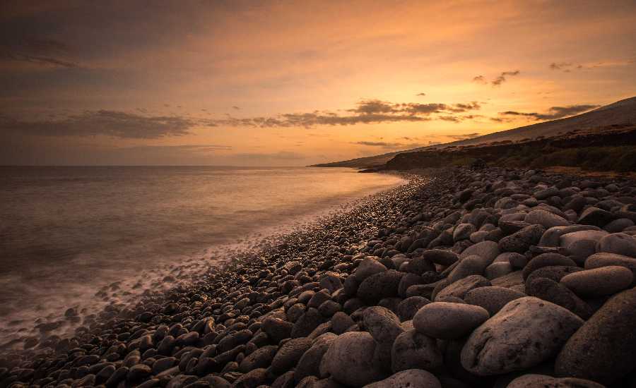
Photo Credit: Chris Archer / ArcherShoots
Swell Summary
Outlook through Saturday September 15: The current swell, generated from Tropical Cyclone Norman, will continue to subside and turn out of the northeast today. Advisory level surf is expected along exposed east facing shores through this afternoon. Another east swell from the westward advancing Hurricane Olivia is forecast to begin arriving on Sunday and will continue to build through early next week, possibly bringing warning level surf back to east facing shores by mid week. The surf forecast surrounding the Hurricane Olivia swell will be highly dependent on track and intensity. A small long period southwest swell will provide a small bump to south facing shores from Sunday night into Tuesday.
Surf heights are forecast heights of the face, or front, of waves. The surf forecast is based on the significant wave height, the average height of the one third largest waves, at the locations of the largest breakers. Some waves may be more than twice as high as the significant wave height. Expect to encounter rip currents in or near any surf zone.
North
am ![]()
![]() pm
pm ![]()
![]()
Surf: Waist to chest high NNE medium period swell with occasional shoulder high sets.
Conditions: Semi glassy in the morning with E winds less than 5mph. Sideshore texture/chop conditions for the afternoon with the winds shifting ENE 5-10mph.
South
am ![]()
![]() pm
pm ![]()
![]()
Surf: Knee high SW extra long period swell for the morning with occasional waist high sets. The swell builds in the afternoon with sets up to stomach high.
Conditions: Clean in the morning with NE winds less than 5mph. Semi glassy/semi bumpy conditions for the afternoon with the winds shifting to the WNW.
West
am ![]()
![]() pm
pm ![]()
![]()
Surf: Ankle to knee high medium period swell for the morning going more NE during the day.
Conditions: Clean with E winds less than 5mph in the morning shifting NE 5-10mph in the afternoon.

Image: NOAA

Image: NOAA

Image: NOAA
Image: NOAA

Image: NOAA
**Click directly on the images below to make them larger. Charts include: Maui County projected winds, tides, swell direction & period and expected wave heights.**
Data Courtesy of NOAA.gov and SwellInfo.com
Sponsored Content


