

Blend of North Swells to Hold Through Morning
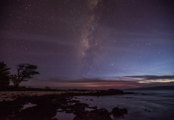
The Milky Way just after sunset at La Perouse, Maui / Image Oct. 21, 2014: Chris Archer.
By Meteorologist Malika Dudley
Our current blend of north swells (345-360°) is expected to hold through the morning and begin to fade later in the day.
We expect surf heights in the knee to chest high range.
For Maui, this swell is expected to show strongest for Hoʻokipa and exposures east of there.
To the west, the swell won’t show as much due to shadowing by the island of Molokaʻi.
Another north-northwest (320-360°) swell is on its heels expected to begin building through the day today, peaking Friday morning and fading through the weekend. A small to moderate reinforcing north swell should arrive late Saturday.
Our small south-southwest (200-190°) swell is lingering offering knee to possibly waist high waves at our best exposed shores. This swell is expected to start fading Friday dropping down to trace amounts by the weekend. Gales well southeast of New Zealand could bring larger surf by the middle of next week.
If ANA continues on its current forecast track the remnants of ANA are expected to merge with a storm to our north. If that happens we may see some swell generated from “ANA.” Otherwise, ANA is not looking to be a big swell producer.
All shores will be below advisory levels with surf heights. Only small surf is expected for east facing shores.
Keep in mind, surf heights are measured on the face of the wave from trough to crest. Heights vary from beach to beach, and at the same beach, from break to break.
***Click here or Malika Dudley’s Full forecast and Daily Weather report.
***Connect with Malika on Facebook, Twitter and Instagram; or Email: [email protected].
Sponsored Content


