

South Just Below Advisory Levels
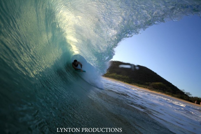
Mākena / Image: Aaron Lynton
By Meteorologist Malika Dudley / Email: [email protected]
Alerts
There are no weather alerts posted at this time.
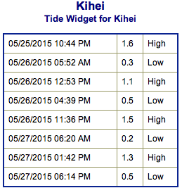
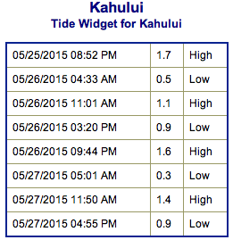
**Click directly on the images below to make them larger. Charts include: Maui County projected winds, forecasted swell direction, height & period, tides, a surface map and expected wave heights.**
 Maui Surf Forecast
North: Wave heights chest/shoulder high expected today. The best breaks could get up to overhead on the sets. Mix of west-northwest, northwest and north-northeast swells may make for messy mixed up surf.
West: Waist/chest/shoulder high waves expected today. Head high sets are possible. Spots blocked from this swell expected to be between ankle and waist high depending on the exposure.
South: Tummy/shoulder high waves are expected today. The best breaks could get up to head high or more on the sets.
 Surf will remain elevated and just below advisory level along south facing shores through the next couple of days, as the current south swell peaks through early Tuesday, then slowly subsides through Thursday. Latest models indicate that a storm now brewing east of New Zealand is producing a swell that will arrive next weekend, with initial indications that this swell will bring near advisory levels surf for south facing shores.
A new west-northwest swell is expected to build Tuesday/Wednesday. A couple more pulses are likely into early June.
Keep in mind, surf heights are measured on the face of the wave from trough to crest. Heights vary from beach to beach, and at the same beach, from break to break.
**Click here for your detailed Maui County weather report.**
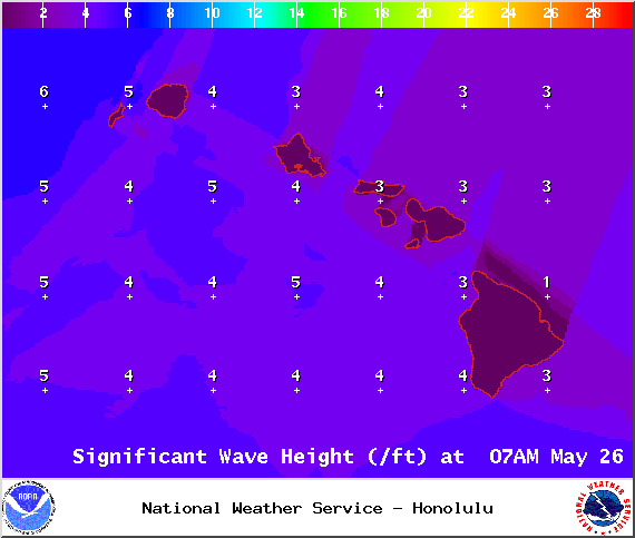
Image: NOAA / NWS
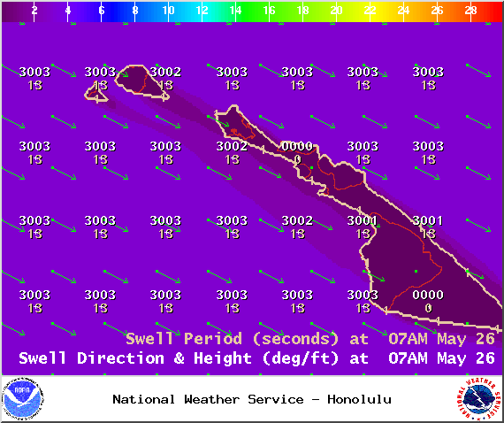
Image: NOAA / NWS
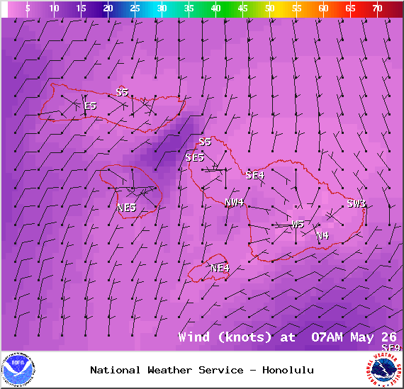
Image: NOAA / NWS
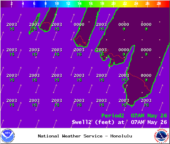
Image: NOAA / NWS
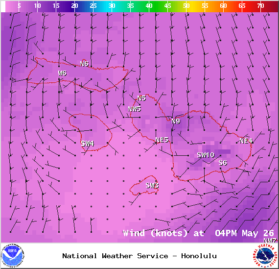
Image: NOAA / NWS
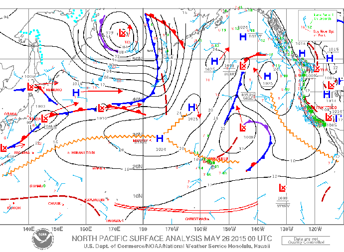
Image: NOAA / NWS
Sponsored Content


