

Maui Under Flood Watch Through Tonight
Maui Under Flood Watch Through Tonight
UPDATE: 11:45 a.m. HST, 9.13.18
The National Weather Service has cancelled the Flood Advisory for the island of Maui. Radar shows that heavy rain has ended. A Flash Flood Watch remains in effect for Maui County through tonight.
Forecasters with the National Weather Service say moisture from Tropical Storm Olivia is forecast to continue producing heavy rainfall. The heaviest rain is expected over Molokaʻi this evening.
According to the NWS, that threat of the heaviest rain is expected to shift west over Oʻahu and Kauaʻi tonight through Thursday as moisture from Olivia moves west and interacts with a low aloft. Total rainfall amounts of 4 to 6 inches with isolated amounts to 8 inches are possible on Oʻahu and Kauaʻi.
“Rain events of this size can cause widespread flooding and can affect areas that do not usually flood. Low spots in roads will become dangerous and impassable due to severe runoff. Debris in streams and gulches may clog bridges and culverts resulting in dangerous flooding. Scattered landslides are expected,” NWS forecasters said.
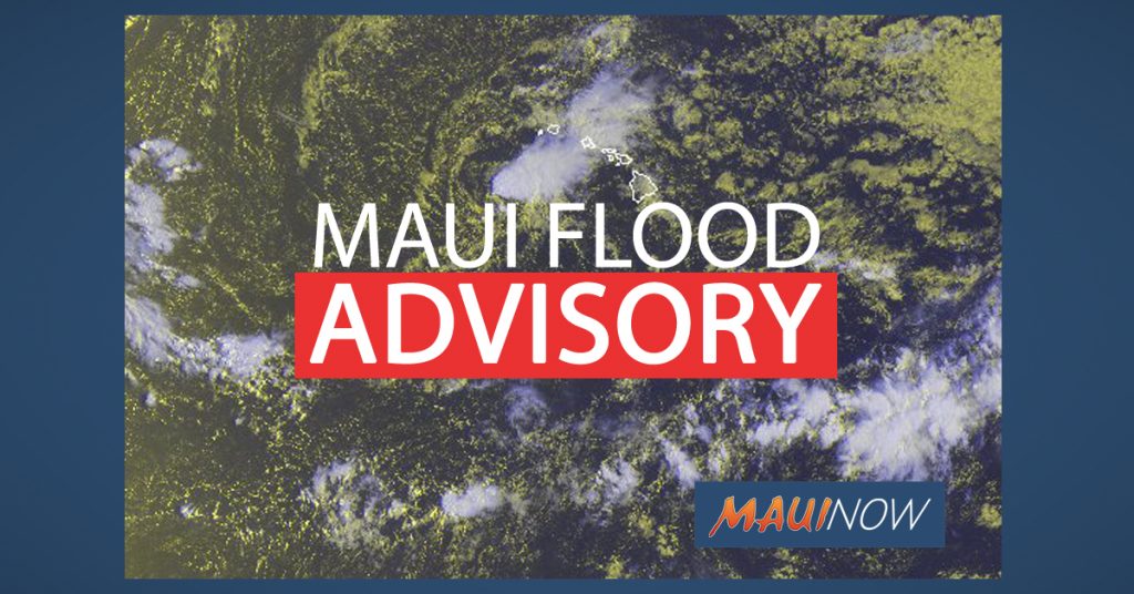
Maui Flood Advisory. Background satellite imagery courtesy NOAA/CPHC 9.12.18, 8:30 a.m.
Maui Flood Advisory Until Noon
The Island of Maui is under a Flood Advisory until noon on Thursday, Sept. 13, 2018.
At 8:56 a.m., radar showed bands of moderate to heavy rainfall continuing to move over east Maui from the southeast. Rainfall intensities have eased over the past hour but streams continue to flow at elevated levels along the windward slopes of Haleakalā.
Locations in the advisory include but are not limited to: Huelo, Paʻuwela, Pāʻia, Keʻanae, Nāhiku, Hāna, Kaupō and Kula.
The public is advised to stay away from streams, drainage ditches and low lying areas prone to
flooding. Rainfall and runoff will also cause hazardous driving conditions due to ponding, reduced visibility and poor braking action.
Motorists and pedestrians are advised not to cross fast flowing or rising water in a vehicle, or on
foot. The NWS advises, “Turn around, don’t drown.”
Flash Flood Warning
Flood Warning Until 9:15 a.m. 9.13.18
A Flood Warning has been issued for the island of Maui until 9:15 a.m.
At around 8 a.m., radar showed heavy rain continuing to fall along the windward slopes of Haleakalā at rates of 1 to 2 inches per hour.
Saturated conditions from previous rainfall will produce rapid flooding of roads and streams in east Maui. At greatest risk are the Hāna Highway, Piʻilani Highway between Waiopae and Kīpahulu, and Waikoloa Road and ʻUlaino Road near Hāna.
Locations in the warning include but are not limited to: Huelo, Paʻuwela, Paʻia, Keʻanae, Nāhiku, Hāna, Kaupō and Kula.
A flash flood warning means that flooding is imminent or occurring in streams, roads, and low lying areas. Move to higher ground now.
Do not cross fast flowing water in your vehicle, or on foot. Turn around, don’t drown.
This warning may need to be extended if heavy rain persists.
The National Weather Service issued an updated Hawaiʻi Area Synopsis saying: “A low aloft north of the islands will pass northwest of Kauaʻi later today. Instability from this low combined with moisture from Olivia will keep the weather unsettled across the state through late tonight. A drier and a little more stable airmass will spread across the islands over the weekend, with seasonal trade wind weather returning.”
Sponsored Content


