

NNW Maui Swell Peaks, Fades Through Weekend
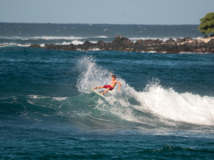
Payce Duryea, 13, of Pāʻia enjoyed the waves at his favorite spot Tavares Bay. File photo by Riley Yap.
By Meteorologist Malika Dudley
Our current north-northwest swell (320-360°) peaks and is expected to fade through the weekend. We expect surf heights in the knee to possibly head high range at the best exposures.
On Maui, the swell will show strongest for Hoʻokipa eastward.
A potential swell for West Maui is partially blocked by Molokaʻi, so small ankle slappers are expected on that side.
A small to moderate reinforcing north swell should arrive late Saturday, Oct. 25, bringing shoulder to head high waves on the sets by sundown.
Our small south-southwest (200-190°) swell is lingering offering ankle to possibly waist high waves at our best exposed shores. This swell is expected to start fading on Saturday, Oct. 25, dropping down to trace amounts by the weekend. Another small boost is expected by mid-week offering knee to waist high surf at the best exposures.
If ANA continues on its current forecast track the remnants of ANA are expected to merge with a storm to our north. If that happens we may see some swell generated from “ANA” early next week. Otherwise, ANA is not looking to be a big swell producer.
All shores will be below advisory levels with surf heights.
Keep in mind, surf heights are measured on the face of the wave from trough to crest. Heights vary from beach to beach, and at the same beach, from break to break.
***Click here or Malika Dudley’s Full forecast and Daily Weather report.
***Connect with Malika on Facebook, Twitter and Instagram; or Email: [email protected].
Sponsored Content


