

Advisory Level Waves Expected Today
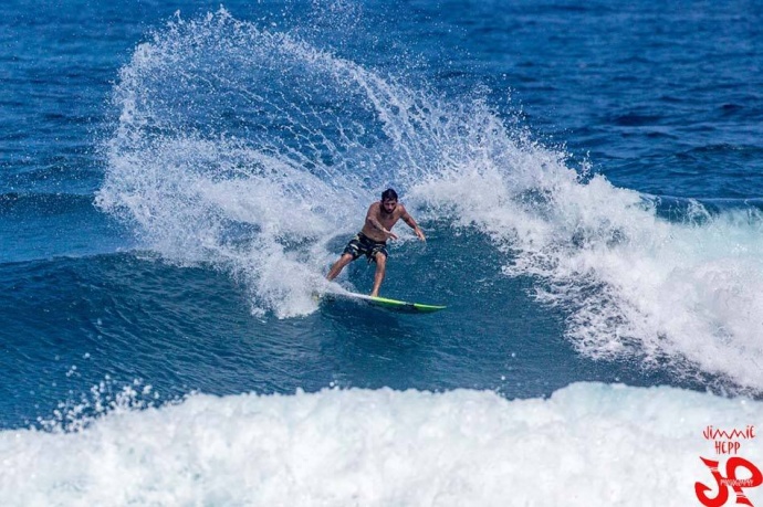
Billy Kemper surfing Ho’okipa / Image: Jimmie Hepp
By Meteorologist Malika Dudley / Email: [email protected]
Alerts
A High Surf Advisory is in effect for the north facing shores of Moloka’i and Maui (18 to 22 foot faces) and the west side of Moloka’i (10 to 15 feet) through 6:00 p.m. Thursday. Expect strong breaking waves, shore break and strong longshore and rip currents making swimming difficult and dangerous.
A Small Craft Advisory is posted for all Maui County waters (except Māʻalaea Bay) through 6:00 p.m. Thursday for rough seas up to 10 feet. Inexperienced mariners should avoid navigating in these conditions.
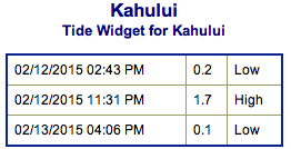
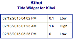
**Click directly on the images below to make them larger. Charts include: Maui County projected winds, forecasted swell direction, height & period, tides, a surface map and expected wave heights.**
 Maui County Surf Forecast
North: Double to triple overhead waves are expected. The best outer reef breaks open to the swell are expected to possibly be larger on the sets reaching 18 to 20 foot faces.
West: Spots open to the northwest swell could see wave heights of about head high to overhead. The best breaks could see sets in the double overhead range. Otherwise, breaks that don’t catch the swells, and / or are shadowed from them, are forecasted to get smaller surf at ankle to knee high.
South: Building south-southwest swell energy expected to produce waves from ankle to waist high.
 Our current swell is expected to remain near or above advisory levels through Thursday. Thursday the swell becomes more broad with more northerly influence (290°-340°). Wind conditions are looking much better with light winds expected. This swell is expected to fade Friday and into the weekend.
If the storm develops as models are indicating, the next northwest swell is expected to build late this weekend. Another west-northwest is expected next week (19/20th).
A recent storm near New Zealand is expected to bring some fun knee to chest high waves for southern exposures Thursday and Friday. Swell eases Sunday and through early next week.
Keep in mind, surf heights are measured on the face of the wave from trough to crest. Heights vary from beach to beach, and at the same beach, from break to break.
**Click here for your detailed Maui County weather report.**
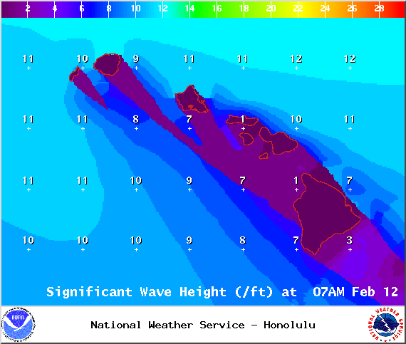
Image: NOAA / NWS
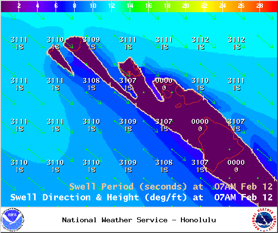
Image: NOAA / NWS
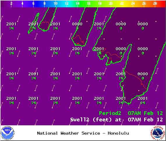
Image: NOAA / NWS
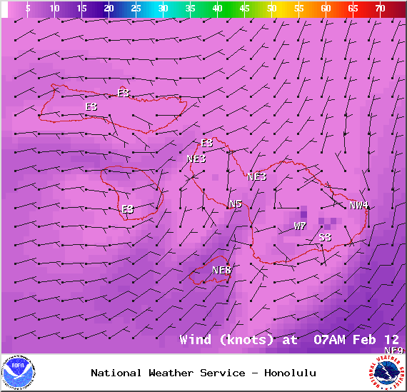
Image: NOAA / NWS
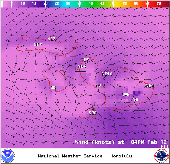
Image: NOAA / NWS
Image: NOAA / NWS
Sponsored Content


