

Maui College Students Participate in GIS Showcase
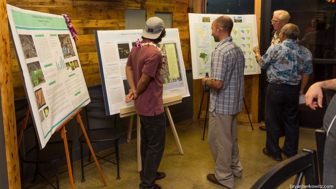
Photo from a previous GIS showcase. Courtesy Bryan Berkowitz
By Maui Now Staff
UH Maui College students earning Certificates of Competence in Geographic Information Systems in Ecosystem Management will share their final projects during a GIS Showcase this Wednesday, May 13, 2015.
The public is invited to attend the free event from 5 to 8 p.m. at the Maui Brewing Company (605 Lipoa Parkway) located in the Kīhei Tech Park.
Project topics include endemic Hawaiian tree snail populations in Maui County, energy efficiency mapping, and the effects of East Maui Irrigation seepage on stream health.
“The GIS Certificate program has given me the freedom to choose where I would like to go in my education and has opened new career options for me,” said UHMC student Heather Kotok in an event press release.
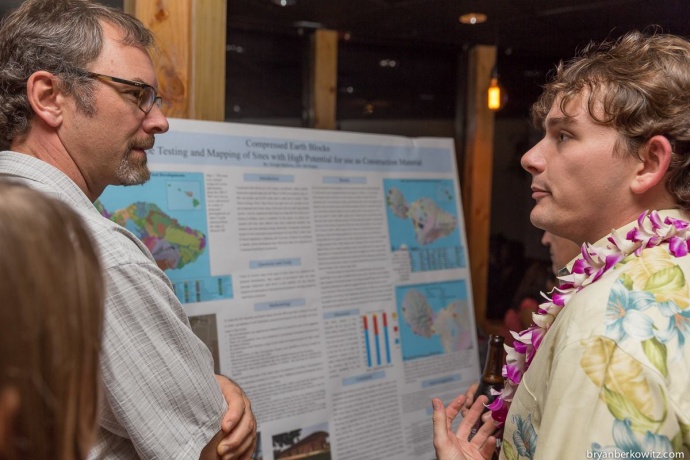
Phot from a previous GIS showcase. Courtesy Bryan Berkowitz.
The student presentations will offer the opportunity for interested employers, internship sponsors, prospective students, and community organizations to learn more about the GIS program.
“A world of opportunity awaits people developing skills in GIS,” said Craig Clouet, Solutions Engineer at Esri, a global GIS software company with an office in Honolulu.
He continued saying, “Many jobs use GIS extensively, and Esri supports that Maui College has been so proactive in educating and promoting GIS to their students. Students leaving the program with these abilities can go anywhere to meet the needs of both existing jobs, and those not yet invented.”
Here on Maui, GIS technology is used at the Pacific Disaster Center to help in coordinating international disaster relief operations by producing maps for damage assessments and locations of international Search and Rescue teams. Ray Shirkhodai, Executive Director said, “GIS is an integral part of the technologies employed at PDC for disaster risk reduction.”
According to the announcement, UHMC students are also finding local jobs with companies like ArdentMC and IUE after completing the program.
“We look to hire candidates with GIS training and certifications as our projects focus on providing GIS services and assisting our customers to manage their critical missions,” said Dom McCombs, Technical Recruiter at ArdentMC in the event announcement.
The certificate is part of a fast track curriculum consisting of two courses that can be completed in a single semester. Instruction is delivered through online classes and in-person labs.
GIS 150 and GIS 180 will be offered again consecutively from August 24 to December 18, 2015. School administrators say it is recommended to apply by August 1 to ensure all paperwork is approved.
Sponsored Content


