

State Launches New Geospatial Data Portal
A new Geospatial Data Portal that will provide streamlined access to hundreds of data layers, topographic maps, imagery and developer features was launched today by state officials.
“The new data portal provides increased functionality, and a section highlighting maps and apps that leverage the GIS program’s data and services,” said Geographic Information System Program Manager Arthur Buto. “One of the first apps that we’re featuring is the Affordable Housing and Homelessness Story Map created by the Governor’s office.”
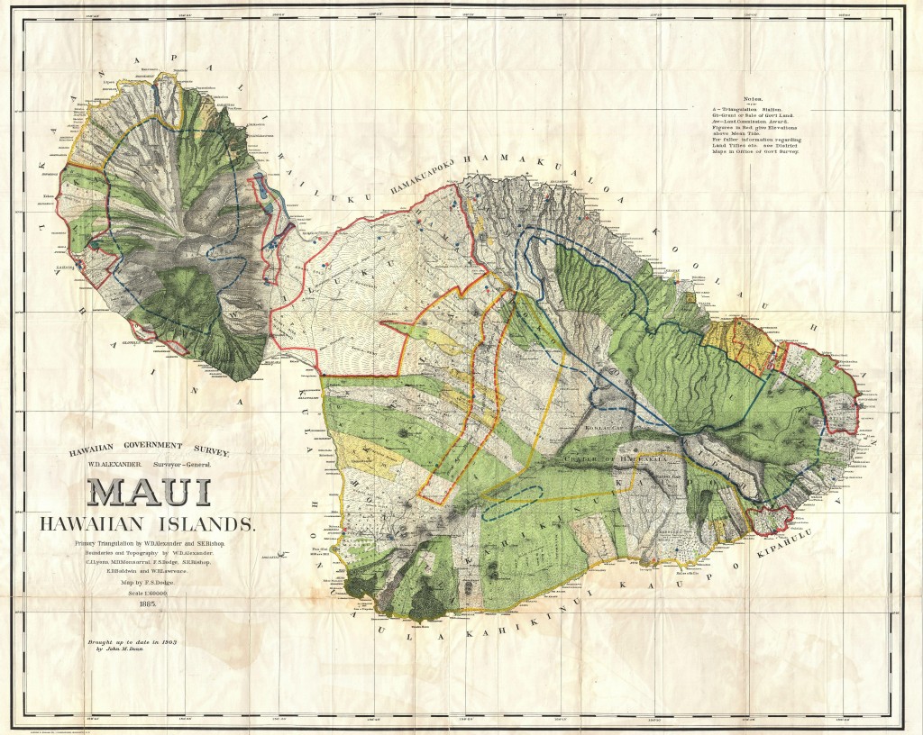
Photo source: https://upload.wikimedia.org/wikipedia/commons/6/6e/1885_De_Witt_Alexander_Wall_Map_of_Maui,_Hawaii_-_Geographicus_-_Maui-lo-1885.jpg google images, labeled for reuse, 12.2015
The portal includes support for non-geospatial data files; an overall cleaner look and feel; optimized layout of data attributes and tables; application program interface tools for developers to create filtered data set URLs for apps development; and other improvements that facilitate site and content management. Users will also find additional data sets (now totaling more than 300 data layers), imagery and historical maps available for general use.
The launch follows a major upgrade completed in May 2016 through a collaboration between the Office of Planning and the Office of Enterprise Technology Services to enable technological advances in server-based GIS and cloud services, as well as improve data sharing, accessibility and cost-effectiveness.
The upgrade reduced the need for redundant databases, standardized the information being analyzed by decision makers, and served as a means of collecting and distributing the most up-to-date authoritative GIS data.
The Offices’ collaborative efforts also resulted in an enterprise license agreement that encourages widespread GIS software use across all State of Hawaiʻi departments and achieves savings, leveraging current cloud technologies. This agreement, along with a strong working relationship with Esri (the leading GIS software provider), offers lower unit cost of software; fixed predictable overall costs over the life of the agreement; flexibility to deploy Esri software products when and where needed; offer of GIS to agencies that otherwise could not afford GIS; and continuous support of the geospatial data and mapping requirements driven by agency and administration initiatives.
Sponsored Content


