February 16, 2018 Surf Forecast
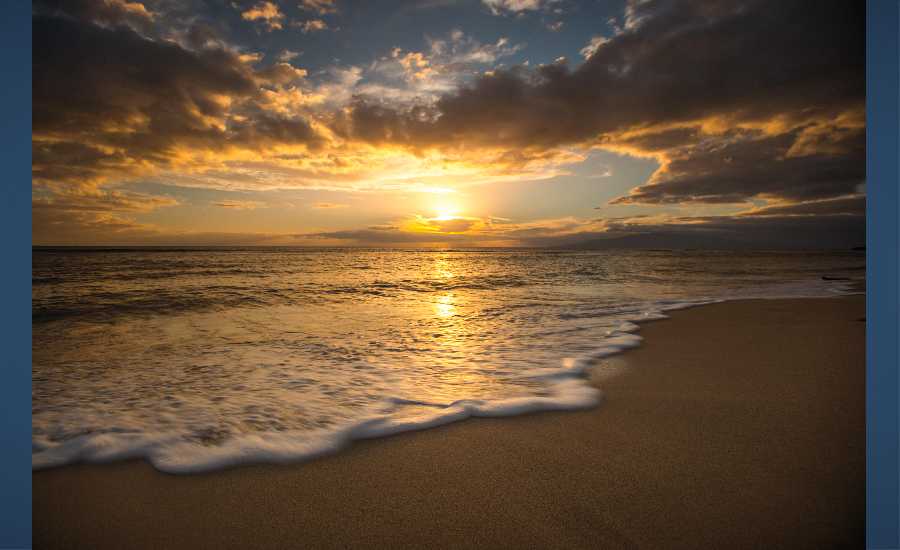
Photo: Chris Archer
Swell Summary
Outlook through Thursday February 22: A series of small west-northwest swells will continue into early next week. Surf along the exposed north and west shores will stay well below advisory levels during these events. A larger, longer period west-northwest swell is forecast for Wednesday into Thursday, and will potentially bring advisory level surf to north and west facing shores. Surf along the east facing shores should see a rise later this weekend into early next week as a short period east swell arrives. The surf may near advisory levels. No significant south swells are expected.
Surf heights are forecast heights of the face, or front, of waves. The surf forecast is based on the significant wave height, the average height of the one third largest waves, at the locations of the largest breakers. Some waves may be more than twice as high as the significant wave height. Expect to encounter rip currents in or near any surf zone.
North
am ![]()
![]() pm
pm ![]()
![]()
Surf: Knee to waist high NW ground swell in the morning builds for the afternoon with occasional sets up to stomach high.
Conditions: Glassy in the morning with SSW winds less than 5mph. Light sideshore texture conditions for the afternoon with the winds shifting E 5-10mph.
South
am ![]()
![]() pm
pm ![]()
![]()
Surf: Ankle to knee high S ground swell.
Conditions: Semi glassy in the morning with S winds less than 5mph. Semi glassy/semi bumpy conditions for the afternoon with the winds shifting SW 5-10mph.
West
am ![]()
![]() pm
pm ![]()
![]()
Surf: Ankle to knee high NNW medium period swell in the morning builds for the afternoon with occasional sets up to thigh high.
Conditions: Glassy in the morning with SSW winds less than 5mph. Clean conditions for the afternoon with the winds shifting to the NE.

Image: NOAA

Image: NOAA

Image: NOAA

Image: NOAA

Image: NOAA
**Click directly on the images below to make them larger. Charts include: Maui County projected winds, tides, swell direction & period and expected wave heights.**
Data Courtesy of NOAA.gov and SwellInfo.com
Sponsored Content