Flood Watch: Greatest Risk Along E and SE Slopes
Update: 3:45 a.m. 2.23.18
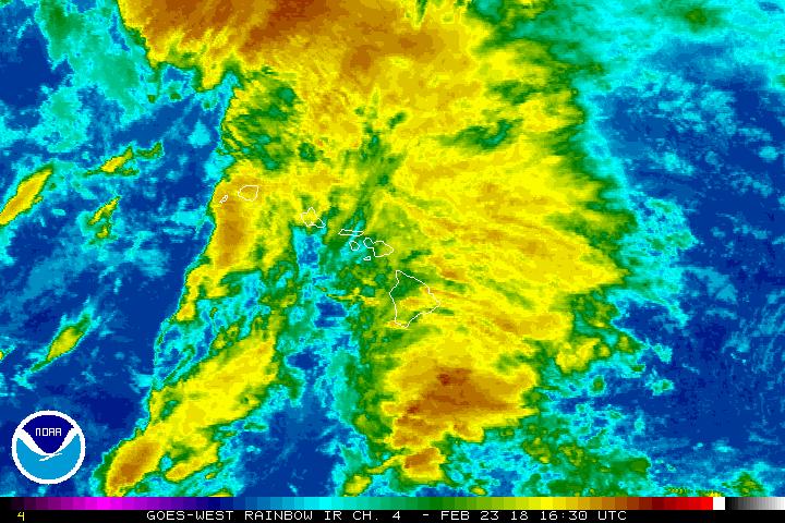
Satellite imagery 2.23.18. PC: NOAA/NWS.
A flash flood watch remains in effect through this afternoon for all islands as an area of low pressure to the west of the state continues to draw moist tropical air over the island chain.
This will lead to periods of heavy rain and possible thunderstorms.
The areas at greatest risk are the east and southeast slopes of all islands, though any given location could experience excessive rainfall and flash flooding. Areas that received excessive rainfall recently will be more susceptible to flash flooding since the ground is still saturated.
Forecasters with the National Weather Service say we can expect a drying trend next week as the low center drifts slowly westward and high pressure builds in from the east.
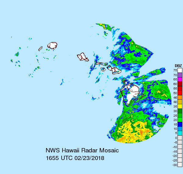
Radar imagery 2.23.18. PC: NOAA/NWS.
Sponsored Content