

January 01, 2019 Surf Forecast
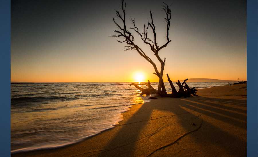
Photo: Chris Archer
Swell Summary
Outlook through Tuesday January 08: A moderate northwest swell will build this afternoon and peak just above advisory levels tonight through Thursday. The northwest swell will begin to decrease Thursday night and will be followed by a smaller reinforcing northwest swell late Friday into Saturday. Persistent moderate to strong trades will result in elevated surf along east facing shores through much of the week, with advisory level surf expected. The wind swell will be on the downward trend over the weekend as trades begin to ease.
Surf heights are forecast heights of the face, or front, of waves. The surf forecast is based on the significant wave height, the average height of the one third largest waves, at the locations of the largest breakers. Some waves may be more than twice as high as the significant wave height. Expect to encounter rip currents in or near any surf zone.
North
am ![]()
![]() pm
pm ![]()
![]()
Surf: Chest to shoulder high NW long period swell for the morning with occasional head high sets. This builds in the afternoon with sets up to slightly overhead high.
Conditions: Sideshore texture/chop with E winds 20-25mph.
South
am ![]()
![]() pm
pm ![]()
![]()
Surf: Ankle to knee high WNW long period swell in the morning builds for the afternoon with occasional sets up to thigh high.
Conditions: Clean with ENE winds 5-10mph.
West
am ![]()
![]() pm
pm ![]()
![]()
Surf: Waist to stomach high NW long period swell for the morning with occasional chest high sets. This drops a bit in the afternoon.
Conditions: Clean with E winds 20-25mph.

Image: NOAA

Image: NOAA
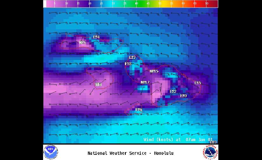
Image: NOAA
Image: NOAA
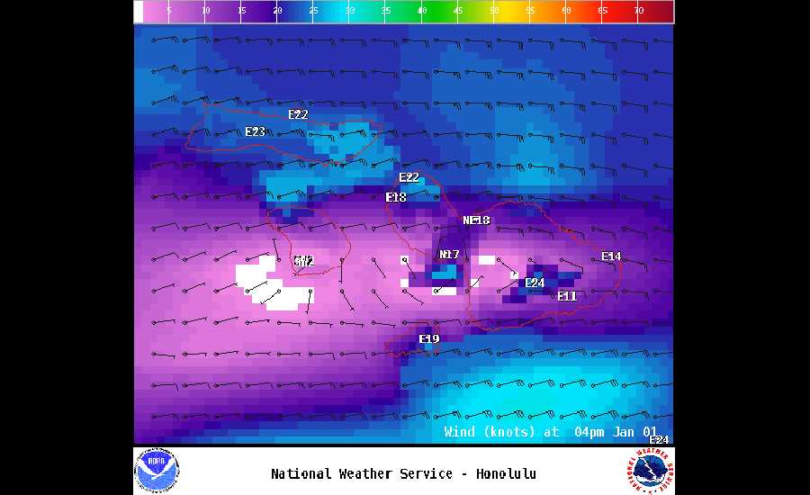
Image: NOAA
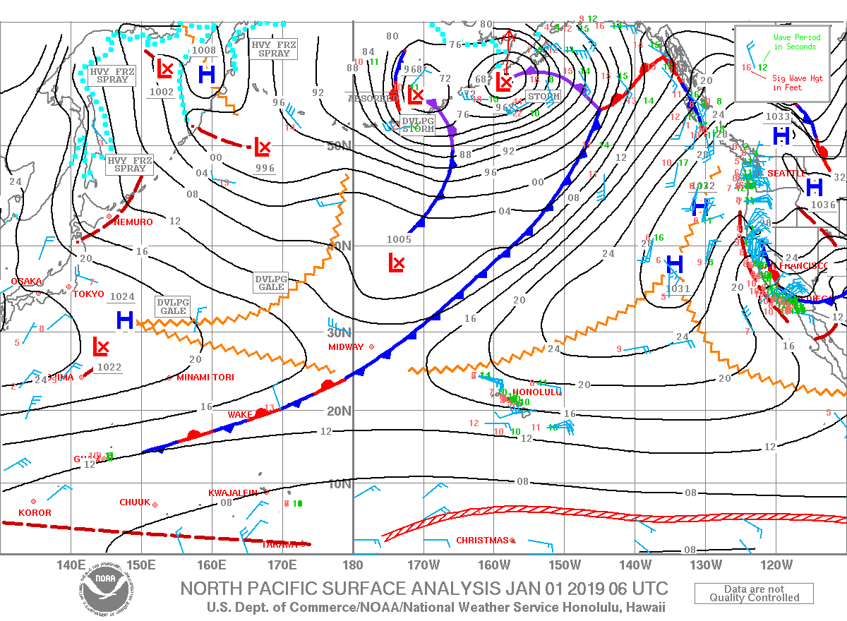
Image: NOAA
**Click directly on the images below to make them larger. Charts include: Maui County projected winds, tides, swell direction & period and expected wave heights.**
Data Courtesy of NOAA.gov and SwellInfo.com
Sponsored Content


