

Public Access Expands for Maui Zoning, Real Property Information
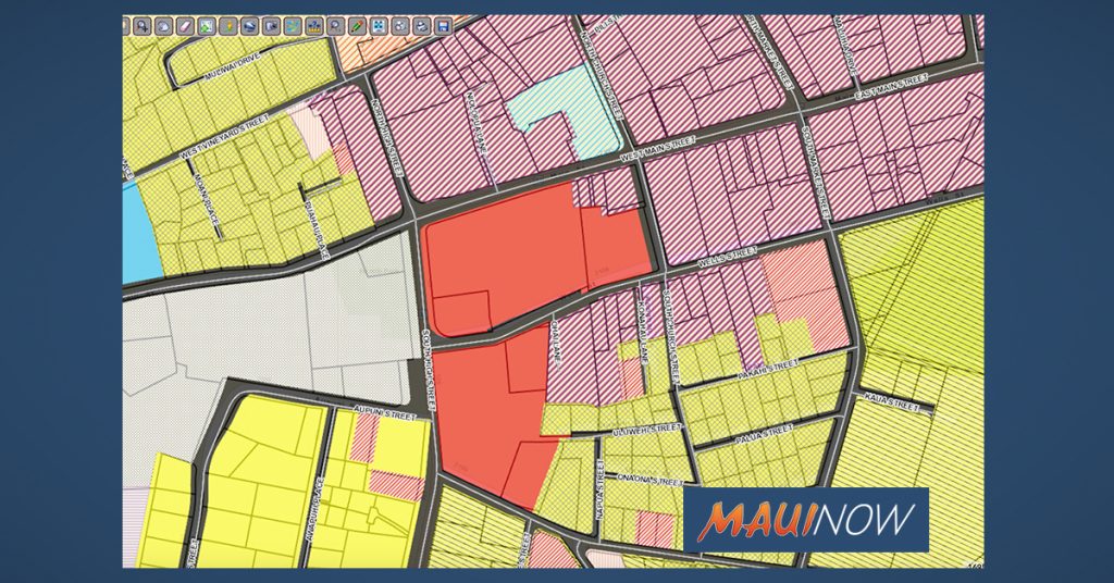
Zoning map for High Street in Wailuku. PC: County of Maui, Real Property Tax Division portal.
Two County of Maui departments have collaborated to make zoning and real property information more readily available to the public.
The Department of Finance Real Property Assessment Division and the Department of Planning announce that the Real Property Tax website now includes the digital zoning map for Maui island as a layer that can be added to the parcel maps.
The Real Property Tax division already had layers such as aerial imagery, recent sales, state land use districts, the Special Management Area, tsunami evacuation zones and flood hazard areas, among others. With the recent additions, zoning is now available as a layer too.
“When we received the request from Planning, we immediately saw the benefit of adding this to the website,” said Finance Director Scott Teruya. “Our GIS staff got right on it, and we were able to go live the same day.”
The Finance Department reported that the website had more than 400,000 property report views and more than 270,000 map views this past year, with more than 5,000 maps printed.
Sponsored Content


