

High Surf Advisory in Effect as NW Builds
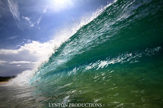
Mākena Big Beach 3.1.15 / Image: Aaron Lynton
By Meteorologist Malika Dudley / Email: [email protected]
Alerts
A High Surf Advisory is in effect for the north facing shores of Maui and Moloka’i through midnight Monday. Surf heights of 10 to 15 feet are expected. Expect strong breaking waves, shore break and strong longshore and rip currents making swimming difficult and dangerous.
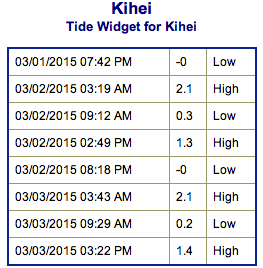
**Click directly on the images below to make them larger. Charts include: Maui County projected winds, forecasted swell direction, height & period, tides, a surface map and expected wave heights.**
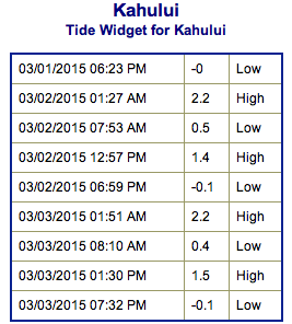 Maui County Surf Forecast
North: Head high to overhead waves are expected today, bigger at the best breaks on the sets.
West: Pretty flat conditions are expected today. Exposures catching the northwest could see knee to waist high waves. Spots catching the SSE could see knee to thigh high waves.
South: Ankle to waist high waves are expected today by sunset.
 A northwest swell is expected to build today, peaking late Monday before slowly lowering on Tuesday.
A south-southeast swell is expected to build on Monday and peak Tuesday.
A west-northwest and a south-southwest swell are expected to move in midweek. Maybe even some short period north-northwest.
Keep in mind, surf heights are measured on the face of the wave from trough to crest. Heights vary from beach to beach, and at the same beach, from break to break.
**Click here for your detailed Maui County weather report.**
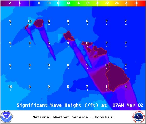
Image: NOAA / NWS

Image: NOAA / NWS
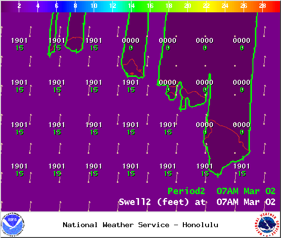
Image: NOAA / NWS
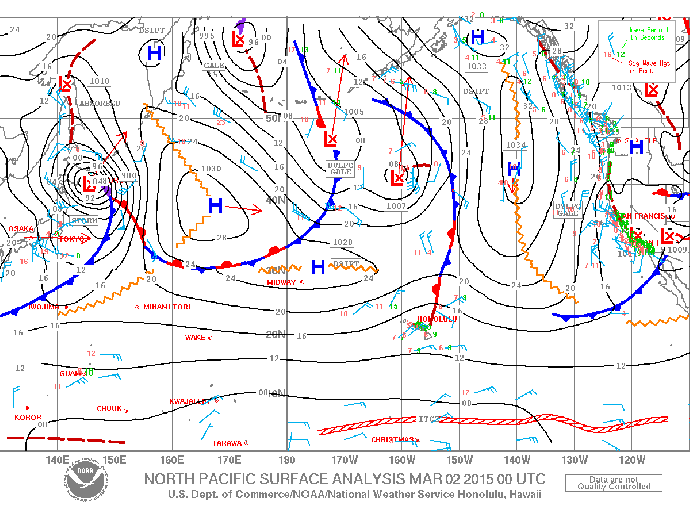
Image: NOAA / NWS
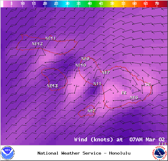
Image: NOAA / NWS
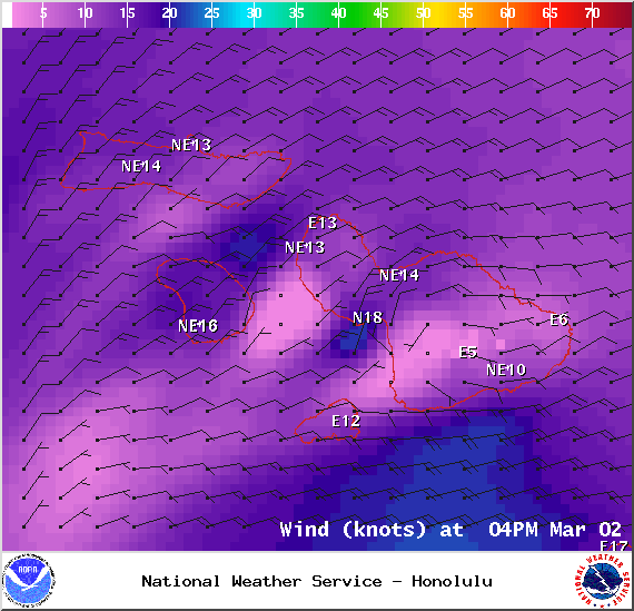
Image: NOAA / NWS
Sponsored Content


