

Maui News 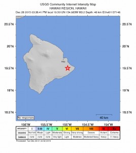
No Advisories After 3.2 Hawaiʻi Island Quake
A
A
A
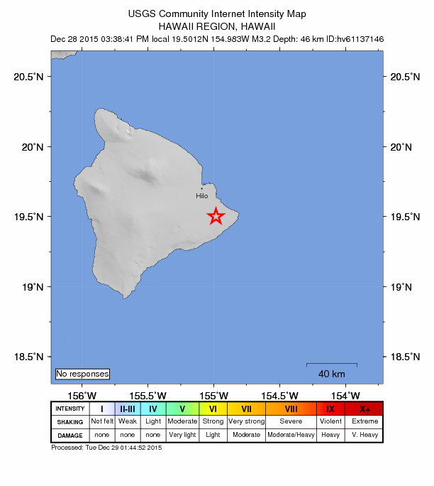
Hawaiʻi Earthquake map, Dec. 28, 2015. Image credit: USGS/HVO.
There were no immediate threats following a preliminary magnitude 3.2 earthquake reported at 3:38 p.m. (HST) on Monday, Dec. 28, 2015 near ʻĀinaloa on the East end of the Big Island of Hawaiʻi.
The USGS Hawaiian Volcano Observatory reports that the quake occurred at a depth of 28.8 miles and was located:
- 1 mile SSE of ʻĀinaloa, Hawaiʻi
- 2.1 miles WNW of Pāhoa
- 6 miles S of Hawaiian Paradise Park, Hawaiʻi
- 6.1 miles NW of Puʻulena Crater
- 8.2 miles NW of ʻOpihikao
- 16 miles SSE of Hilo, Hawaiʻi
- 66 miles E of Kailua-Kona, Hawaiʻi
- 223 miles ESE of Honolulu, Hawaiʻi
ADVERTISEMENT
ADVERTISEMENT
Sponsored Content


Subscribe to our Newsletter
Stay in-the-know with daily or weeklyheadlines delivered straight to your inbox.
Comments
This comments section is a public community forum for the purpose of free expression. Although Maui Now encourages respectful communication only, some content may be considered offensive. Please view at your own discretion. View Comments


