

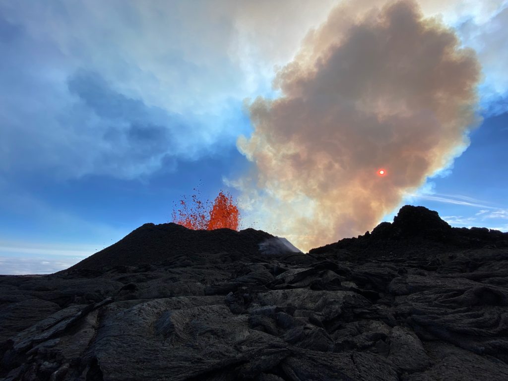
After one week, Mauna Loa has a single active fissure; continues slow advance
Aviation threat reduced, Color reduced to Orange
Update: 8:19 a.m., Saturday, Dec. 3, 2022
Lava eruption from fissure 3 on the Northeast Rift Zone of Mauna Loa continues, but the threat to aviation of significant volcanic ash emission into the atmosphere has passed, according to a morning update issued by the Hawaiian Volcano Observatory. For this reason, HVO has reduced the aviation color code from RED to ORANGE.
While the aviation threat is reduced, the ground-based volcano alert level remains at WARNING, reflecting the ongoing hazards of the fissure 3 lava flow.
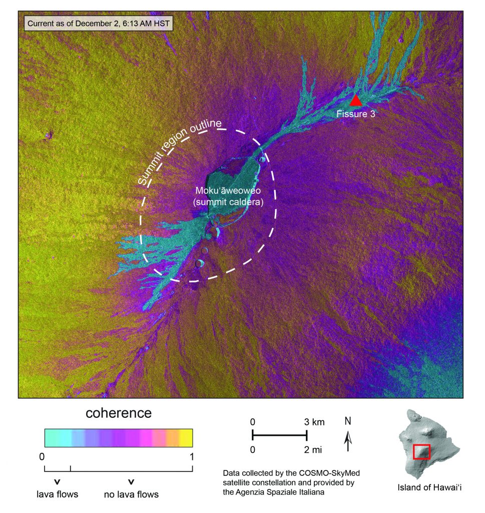
Lava flows from the lone active fissure are slowly advancing north toward the Daniel K. Inouye Highway. The HVO reports that the flows are spreading out and inflating (thickening) as they advance over low-sloping ground.
“The fronts of lava flows can break open unexpectedly, sending flows in several directions. Rain on lava creates steam and reduces visibility. If visiting the County of Hawai’i public viewing area, remain with your vehicle and do not approach the flows,” the HVO advises.
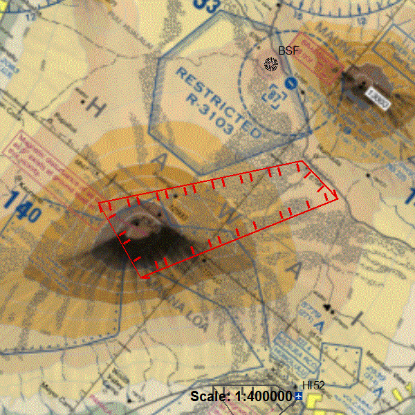
The Federal Aviation Administration has issued a temporary flight restriction extending from the surface to 1500 feet above ground level in the eruption area.
Mauna Loa flow slows as it advances on flat ground
Update: 4:32 p.m., Saturday, Dec. 3, 2022
A single fissure remains active at the Mauna Loa volcano, with little change in activity over the past 24 hours.
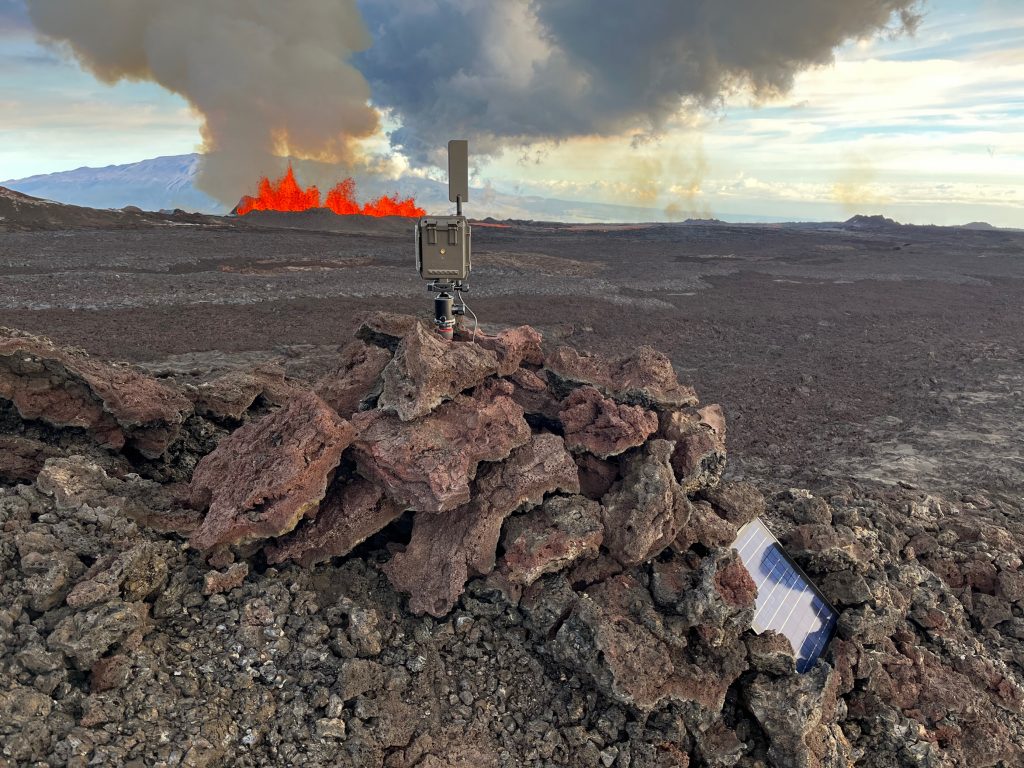
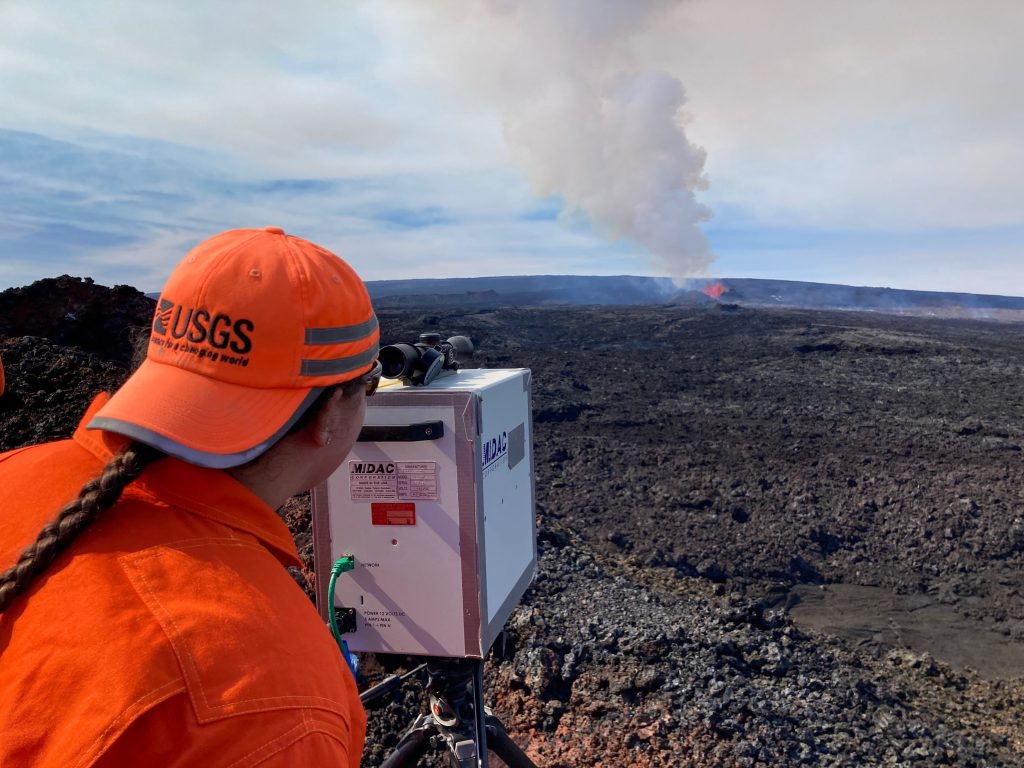
Fissure 3 continues to feed lava downslope, but the flow front remained about 2.4 miles from the Daniel K. Inouye Highway (Saddle Road) at around 1 p.m. on Saturday, Dec. 3, 2022.
The USGS Hawaiian Volcano Observatory reports that the lava continued to advance at a rate of about 40 feet per hour. “Though the advance rate has slowed over the past 24 hours, the lava flow remains active,” according to HVO scientists.
The latest eruption began a week ago on Sunday evening, Nov. 27, when HVO scientists were alerted to an earthquake swarm beneath Mauna Loa. By 11:30 p.m., lava had broken the surface within the Moku‘āweoweo summit caldera. It marked the first eruption at Mauna Loa in 38 years.
HVO scientists say advance rates may be highly variable over the coming days and weeks, noting that additional breakouts may occur if lava channels get blocked upslope.
“There are many variables at play and both the direction and timing of flow advances are expected to change over periods of hours to days, making it difficult to estimate when or if the flow will impact Daniel K. Inouye Highway,” according to the latest update from the HVO.
Vog continues to be blown downwind, and strand of volcanic glass or Pele’s hair have been repaired as far as the Mauna Kea Visitor Information Station.
The HVO says tremor continues at fissure 3, indicating that magma is still being supplied, and the flow remains active. Scientists with the HVO say no property is currently at risk.
Resources and links:
- The Hawaiʻi County Civil Defense agency has a web page on volcano hazards with maps of inundation zones and hazard zones. Alerts are posted here.
- Hawai‘i Volcanoes National Park has closed the Mauna Loa summit area to visitors.
- Vog information can be found here.
- What does a warning and warning alert level mean? Find out here.
- HVO: Preparing for the next eruption of Earth’s largest active volcano.
- Lava Flows from Mauna Loa (1843-2018)
- Mauna Loa Eruption Response Times over the past 200 years
- Current alerts.
- Mauna Loa webcams.
- Frequently Asked Questions about Mauna Loa Volcano
Sponsored Content


