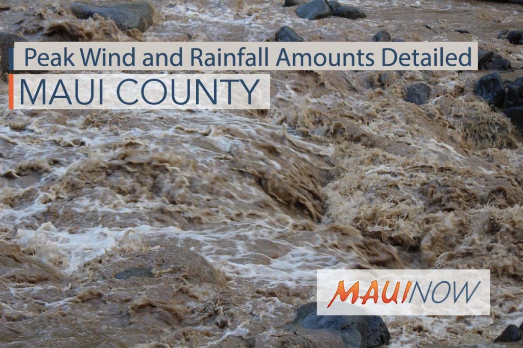
Peak Wind and Rainfall Amounts Detailed for Hurricane Lane Impacts

Maui Now graphic. Peak Wind and Rain Forecast associated with Hurricane Lane.
By Wendy Osher
UPDATE: 11:19 a.m. HST 8.21.18
The National Weather Service has outlined anticipated peak wind and rainfall amounts for various areas across Maui and Hawaiʻi Counties.
According to a 11:19 a.m. update, peak winds on Maui are forecast to be in the 25 to 40 mph range with gusts to 55 mph. As for peak rainfall, Maui could see 18 to 24 inches with locally higher amounts in Wailuku and East Maui.
Winds are forecast to be especially strong on Lānaʻi and Molokaʻi where the peak is expected to be 30-40 mph with gusts to 60 mph.
According to the NWS, the greatest threat for rainfall is currently in the South Big Island areas of Nāʻalehu, Pāhala, Hawaiian Ocean View Estates where more than two feet is expected in the peak forecast period.
Peak Wind and Rain Amounts
11:19 a.m. Area Local Impact : (Results compiled by the National Weather Service).
MAUI:
- Wailuku, Waiheʻe, Kapalua: 25-35 mph with gusts to 50 mph; Additional 18-24 inches, with locally higher amounts
- Lahaina, Olowalu, Nāpili: 25-35 mph with gusts to 55 mph; 10-15 inches, with locally higher amounts
- Kahului, Puʻunēnē, Māʻalaea: 25-35 mph with gusts to 50 mph; 6-10 inches, with locally higher amounts
- East Maui: Haʻikū, Hāna, Kīpahulu: 25-35 mph with gusts to 50 mph; Additional 18-24 inches, with locally higher amounts
- Haleakalā National Park: 25-35 mph with gusts to 55 mph; 12-18 inches, with locally higher amounts
- South Maui: Kīhei, Wailea, Kēōkea: 30-40 mph with gusts to 55 mph; 12-18 inches, with locally higher amounts
LANAI:
- Lānaʻi Makai: Mānele Harbor, Kaumalapau Harbor, Shipwreck Beach: 30-40 mph with gusts to 60 mph; 4-8 inches, with locally higher amounts
- Lānaʻi City, Lānaʻi Airport: 30-40 mph with gusts to 60 mph; 10-15 inches, with locally higher amounts
MOLOKAI:
- Molokaʻi Windward: Pūkoʻo, Hālawa Valley, Kalaupapa: 30-40 mph with gusts to 55 mph; Additional 6-10 inches, with locally higher amounts
- Kaunakakai, Kualapuʻu, Kepūhi: 30-40 mph with gusts to 60 mph; 3-6 inches, with locally higher amounts
KAHOOLAWE:
- Kahoʻolawe: 30-40 mph with gusts to 55 mph; 4-8 inches, with locally higher amounts
BIG ISLAND:
- Big Island: Hilo, Kamuela, Hawī, Pāhoa, Volcano: 20-30 mph with gusts to 45 mph; Additional 18-24 inches, with locally higher amounts
- Kawaihae, Waikoloa Village, Mahukona: 20-30 mph with gusts to 45 mph, 3-6 inches, with locally higher amounts
- Mauna Kea Summit, Mauna Loa Summit: 30-40 mph with gusts to 60 mph; 10-15 inches, with locally higher amounts
- Kailua-Kona, Captain Cook, Miloliʻi: 30-40 mph with gusts to 55 mph; Additional 4-8 inches, with locally higher amounts
- South Big Island: Nāʻalehu, Pāhala, Hawaiian Ocean View Estates: 25-35 mph with gusts to 55 mph; Additional More than two feet
***The complete report is available online.***
According to the latest Hydrologic Outlook, the National Weather Service is forecasting the following:
“Latest forecast models indicate that, regardless of the eventual track and intensity of Lane, an extremely moist and unstable air mass will move over the islands beginning Wednesday morning, and will remain in place through the end of the week. This is expected to result in very heavy rainfall, potentially leading to flash flooding.
“Higher confidence in the heavy rainfall and flooding threat from Hurricane Lane has led to the issuance of a Flash Flood Watch for the state of Hawaiʻi at 5 a.m. HST.
“This will be the final Hydrologic Outlook issued for this event. Further hydrologic threat information will be covered by flash flood watches, flash flood warnings and flood advisories as conditions warrant.”


