

October 01, 2018 Surf Forecast
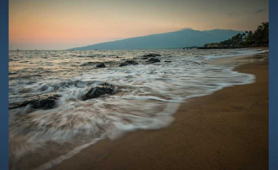
Photo Credit: Chris Archer / ArcherShoots
Swell Summary
Outlook through Monday October 08: A long-period northwest swell arriving tonight is expected to cause surf to approach the High Surf Advisory criteria along north facing shores Tuesday. This swell will gradually diminish Wednesday. A south- southwest swell filling in Tuesday is expected to produce moderate surf along south facing shores Wednesday. A small long- period east swell generated by distant Hurricane Rosa may produce a slight bump in surf heights along east facing shores starting Tuesday. Later in the week, swells from Hurricane Walaka, which is now a major hurricane may produce significant southwest and west swells that may affect south and west facing shores starting Thursday.
Surf heights are forecast heights of the face, or front, of waves. The surf forecast is based on the significant wave height, the average height of the one third largest waves, at the locations of the largest breakers. Some waves may be more than twice as high as the significant wave height. Expect to encounter rip currents in or near any surf zone.
North
am ![]()
![]() pm
pm ![]()
![]()
Surf: Waist to stomach high NNW medium period swell.
Conditions: Light sideshore texture in the morning with E winds 10-15mph. Sideshore texture/chop conditions for the afternoon as the winds increase to 15-20mph.
South
am ![]()
![]() pm
pm ![]()
![]()
Surf: Knee to thigh high S medium period swell.
Conditions: Glassy in the morning with NW winds less than 5mph. This becomes Semi glassy/semi bumpy for the afternoon.
West
am ![]()
![]() pm
pm ![]()
![]()
Surf: Knee to thigh high NNW medium period swell with occasional waist high sets.
Conditions: Clean with E winds 5-10mph in the morning shifting ENE 10-15mph in the afternoon.

Image: NOAA

Image: NOAA
Image: NOAA

Image: NOAA
Image: NOAA

Image: NOAA
**Click directly on the images below to make them larger. Charts include: Maui County projected winds, tides, swell direction & period and expected wave heights.**
Data Courtesy of NOAA.gov and SwellInfo.com
Sponsored Content


