4.2 Mauna Loa Earthquake Had No Apparent Effect on Hawaiʻi Volcanoes

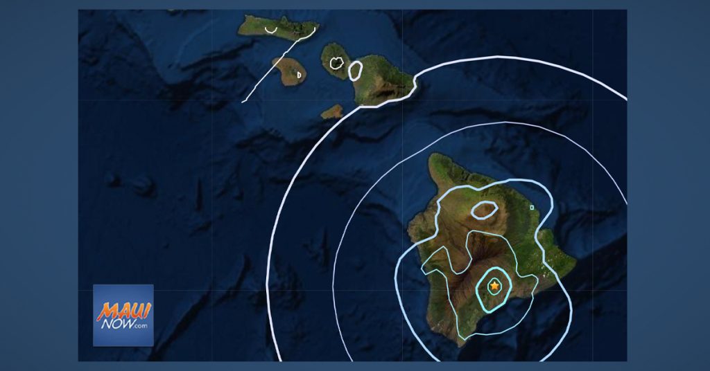
The US Geological Survey’s Hawaiian Volcano Observatory recorded a magnitude-4.2 earthquake located beneath Mauna Loa’s southeast flank at around 2:21 p.m. on Wednesday, March 10, 2021.
The Pacific Tsunami Warning Center issued a statement shortly after the quake saying no tsunami was expected from the event.
The earthquake epicenter was 11 miles NNE of Pāhala in the vicinity of the Kaʻōiki Pali with a depth of approximately 16 miles below sea level.
The USGS reports that the earthquake was located:
- 10.7 miles SSW of Pāhala, Hawaiʻi
- 33.6 miles ENE of Hawaiian Paradise Park
- 34 miles NE of Hilo, Hawaiʻi
- 43.1 miles WNW of Kailua-Kona, Hawaiʻi
- 208.4 miles NW of Honolulu, Hawaiʻi
HVO Scientist-in-Charge Ken Hon, said the earthquake had no apparent effect on Kīlauea or Mauna Loa volcanoes. “We do not currently observe any changes in activity at Kīlauea or Mauna Loa as a result of this earthquake,” said Hon noting that the agency continues to monitor Kīlauea and other Hawaiian volcanoes for any changes.
HVO scientist say today’s earthquake “does not represent a significant departure from the seismic activity observed over the past year,” so the Volcano Alert Level for Mauna Loa remains at ADVISORY.
“Other Mauna Loa monitoring data streams show no significant change in deformation rates or patterns that would indicate increased volcanic hazard at this time,” according to the HVO.
The USGS “Did you feel it?” service received more than 300 felt reports within the first hour of the earthquake, including reports from Kula on Maui, as well as parts of Oʻahu and Kauaʻi.


