

Large Swell Expected This Weekend
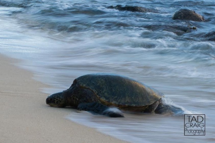
Image: Tad Craig
By Meteorologist Malika Dudley / Email: [email protected]
Alerts
A Marine Weather Alert is posted for all coastal waters. A long-period south swell will bring potential for surges in harbors facing the south and may lead to waves breaking in and near harbor entrances (especially Sunday and Monday). Extreme tide changes could lead to locally strong currents even in channel entrances. Boaters should be alert to larger than normal surf along south shores this weekend.
**Click directly on the images below to make them larger. Charts include: Maui County projected winds, forecasted swell direction, height & period, tides, a surface map and expected wave heights.**
 Maui Surf Forecast
North: Wave heights waist high or less expected today. Flat at most spots.
West: Waist high waves expected today. Spots blocked from this swell expected to be between ankle and knee high depending on the exposure.
South: Knee/chest high waves are expected today with the best exposures reaching shoulder high on the sets.
 A small mix of southwest and south-southwest swells will show through Saturday. A strong storm that recently developed near New Zealand is producing a swell that is expected to reach us late Saturday, peaking Monday, with surf likely reaching advisory levels for south facing shores.Tuesday afternoon the swell is expected to begin to ease and fade through the rest of the week.
A mix of northwest and north swells are lingering through the next few days. Possibly another swell on tap for Monday.
Keep in mind, surf heights are measured on the face of the wave from trough to crest. Heights vary from beach to beach, and at the same beach, from break to break.
**Click here for your detailed Maui County weather report.**
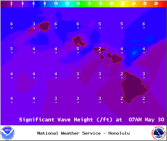
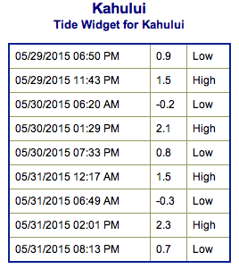
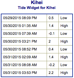
Image: NOAA / NWS
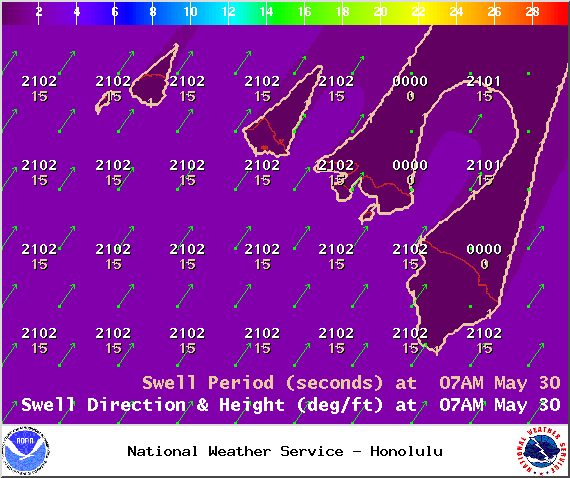
Image: NOAA / NWS
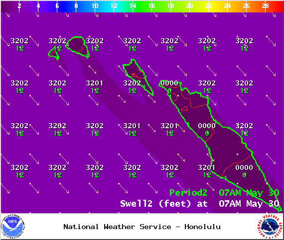
Image: NOAA / NWS
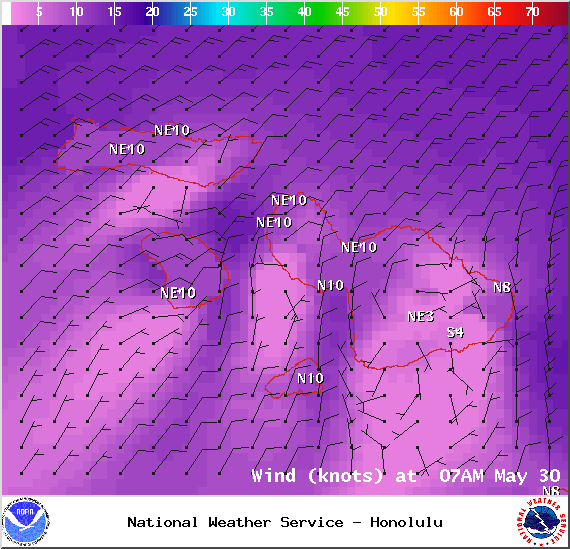
Image: NOAA / NWS
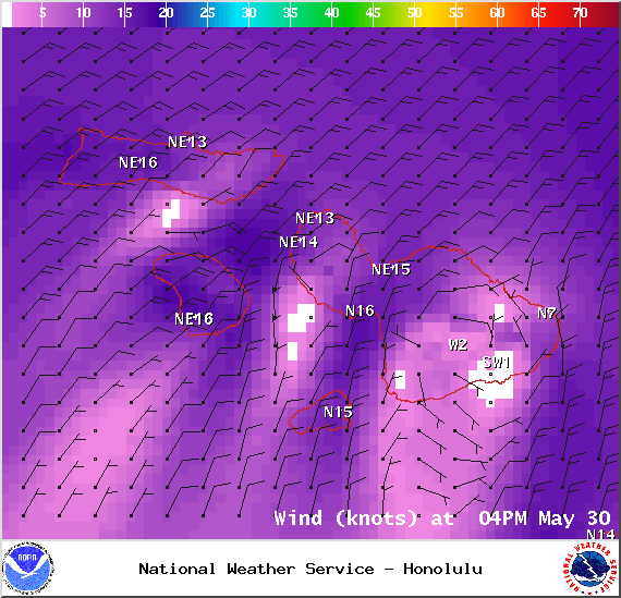
Image: NOAA / NWS
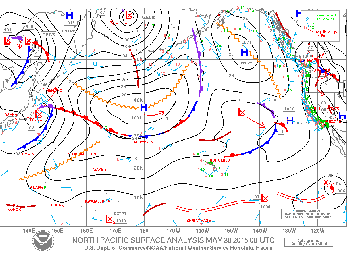
Image: NOAA / NWS
Sponsored Content


