

Island forecast
Kahului, Maui Weather
Clear daily guidance, radar access and the latest regional weather reporting in one place.
Multi-day outlook
Forecast timeline
Scroll for the full forecast
Today
Tonight
Sunday
Sunday Night
Monday
Monday Night
Tuesday
Tuesday Night
Wednesday
Wednesday Night
Thursday
Thursday Night
Friday
Friday Night
Latest Weather News
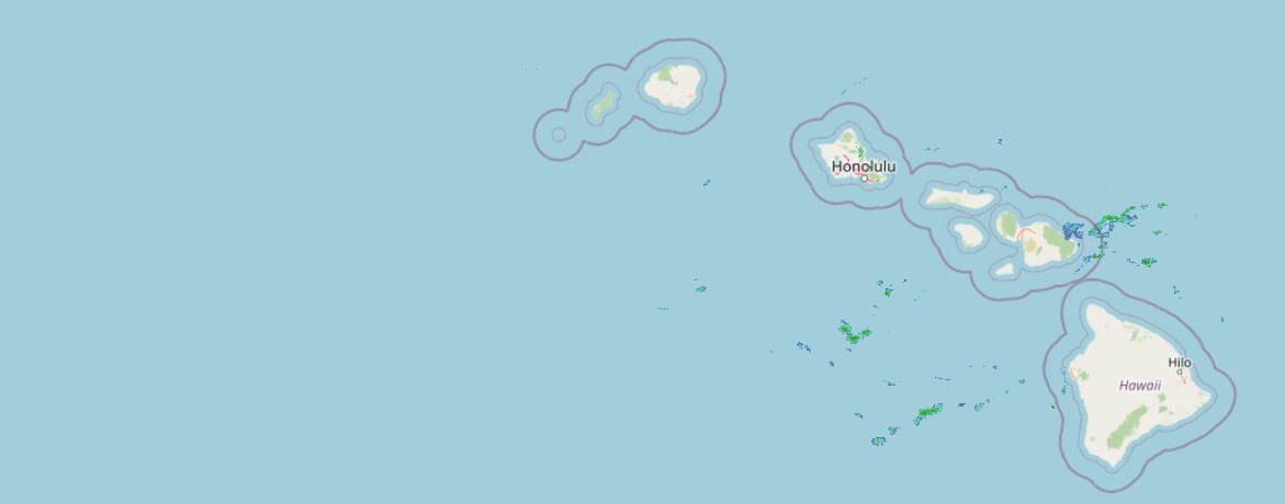 Weather Radar
Regional forecast
Regional Maui Weather Forecast July 11, 2026

West Side
Today: Breezy. Partly sunny with scattered showers. Highs 80 to 86. Northeast winds 10 to 25 mph. Chance of rain 40 percent.
Tonight: Partly cloudy. Breezy. Scattered showers in the evening, then numerous showers after midnight. Lows 69 to 78. Northeast winds 10 to 25 mph. Chance of rain 70 percent.
Sunday: Breezy. Mostly sunny with isolated showers. Highs 80 to 86. Northeast winds 10 to 20 mph. Chance of rain 20 percent.
South Side
Today: Mostly sunny. Breezy. Highs around 89. Northeast winds up to 25 mph.
Tonight: Mostly clear. Breezy. Lows 71 to 78. Northeast winds up to 25 mph.
Sunday: Sunny and breezy. Highs around 88. Northeast winds 10 to 25 mph.
North Shore
Today: Breezy. Mostly cloudy with numerous showers. Highs around 82 near the shore to around 66 near 5000 feet. East winds 10 to 25 mph. Chance of rain 70 percent.
Tonight: Mostly cloudy. Breezy. Numerous showers in the evening, then occasional showers after midnight. Lows 69 to 74 near the shore to around 50 near 5000 feet. East winds 10 to 20 mph. Chance of rain 90 percent.
Sunday: Mostly cloudy. Breezy. Occasional showers in the morning, then numerous showers in the afternoon. Highs around 82 near the shore to around 64 near 5000 feet. East winds 10 to 20 mph. Chance of rain 90 percent.
Central Maui
Today: Breezy. Partly sunny with isolated showers. Highs 81 to 89. Northeast winds 10 to 25 mph. Chance of rain 20 percent.
Tonight: Breezy. Partly cloudy with isolated showers. Lows 70 to 76. Northeast winds 10 to 20 mph. Chance of rain 20 percent.
Sunday: Breezy. Mostly sunny with isolated showers. Highs 80 to 88. Northeast winds 10 to 20 mph. Chance of rain 20 percent.
Upcountry
Today: Breezy. Partly sunny with scattered showers. Highs around 63 at the visitor center to around 70 at the summit. East winds up to 20 mph. Chance of rain 50 percent.
Tonight: Breezy. Partly cloudy with scattered showers. Lows around 50 at the visitor center to around 46 at the summit. East winds up to 20 mph. Chance of rain 50 percent.
Sunday: Breezy. Mostly sunny with scattered showers. Highs around 62 at the visitor center to around 67 at the summit. East winds up to 20 mph. Chance of rain 50 percent.
East Maui
Today: Breezy. Mostly cloudy with numerous showers. Highs around 82 near the shore to around 66 near 5000 feet. East winds 10 to 25 mph. Chance of rain 70 percent.
Tonight: Mostly cloudy. Breezy. Numerous showers in the evening, then occasional showers after midnight. Lows 69 to 74 near the shore to around 50 near 5000 feet. East winds 10 to 20 mph. Chance of rain 90 percent.
Sunday: Mostly cloudy. Breezy. Occasional showers in the morning, then numerous showers in the afternoon. Highs around 82 near the shore to around 64 near 5000 feet. East winds 10 to 20 mph. Chance of rain 90 percent.
Lanai City
Today: Mostly sunny in the morning then becoming partly sunny. Breezy. Highs 73 to 82. Northeast winds 10 to 25 mph.
Tonight: Partly cloudy. Breezy. Isolated showers after midnight. Lows 65 to 71. Northeast winds 10 to 25 mph. Chance of rain 20 percent.
Sunday: Sunny and breezy. Highs 73 to 82. Northeast winds 10 to 25 mph.
Kaunakakai
Today: Breezy. Mostly sunny with isolated showers. Highs 71 to 89. Northeast winds 10 to 25 mph. Chance of rain 20 percent.
Tonight: Partly cloudy. Breezy. Scattered showers after midnight. Lows 59 to 77. Northeast winds 10 to 25 mph. Chance of rain 50 percent.
Sunday: Sunny and breezy. Isolated showers in the morning. Highs 70 to 88. East winds 10 to 25 mph. Chance of rain 20 percent.
Detailed Forecast
Synopsis
Strong high pressure far north of the state will produce breezy trade winds through the weekend and into the first half of next week. A slight weakening and veering of the trade winds is possible during the second half of next week as the high pressure moves northeast and low pressure potentially develops in the tropics to the SSW. An increase in moisture will bring enhanced showers to windward and mauka locations Saturday night into Sunday morning. The next plume of moisture could then arrive by the middle of next week.
Discussion
Radar and satellite imagery early this morning shows some isolated to scattered showers moving over windward areas, with windward Big Island receiving the most showers. The high pressure to the north will keep the trades blowing through the first part of next week, bringing a rather typical summer pattern. An increase in low level moisture will arrive Sunday, resulting in an increase in both the coverage and strength of showers. This should also increase the number that make it over to leeward areas. There may be additional periods of increased moisture next week, but details are not available yet.
Long range model guidance indicates that the strong high pressure to our north will shift east and weaken later next week. At the same time, the tropics are showing signs of life with potential development to our SSW. At this time it is unclear if any will or wont effect the state. The GFS solution has a system developing out of the ITCZ and moving SW of our offshore waters next week. This would bring a wide swath of deep tropical moisture over the state, however the ECMWF and google deepmind indicate a system developing further west. Due to these discrepancies and uncertainty, went with the more conservative ECMWF solution for now which brings a modest bump in trade wind showers next week. Longer range ensembles indicate that the last two weeks of the month may also bring an environment supportive of further development, but it is way too early to have any details. However, now would be a good time to make sure you are prepared for what could prove to be an active El Nino tropical cyclone season.
Aviation
Moderate to locally breezy trades continue across the Hawaiian Islands, with pockets of embedded light to moderate shower activity expected to impact windward sites at times, occasionally spilling over into leeward areas. Expect VFR conditions to prevail across most locations, with occasional localized MVFR conditions in association with low clouds and shower activity.
AIRMET Tango remains in effect for moderate low-level turbulence over and downwind of terrain for all islands. This AIRMET will likely continue as this ongoing trade wind pattern persists.
Marine
No significant changes with the morning package. Have extended the Small Craft Advisory (SCA) through tomorrow afternoon. Some waters may drop below SCA levels tonight and tomorrow, but overall the models indicate winds staying up near SCA levels across more than just the typical windier waters.
Strong high pressure will remain anchored far north of the state, driving fresh to strong trade winds into the region. The trades will weaken a bit early in the new week, that will likely lead to the SCA being scaled back to the windier waters and channels around Maui County and the Big Island.
The current small medium-period south-southwest (190-200 degrees) swell will hold today just below the summer average. A small to moderate, long-period southwest swell (220 degrees) is expected to fill in late today through Monday, which will boost surf through early next week.
Surf along east-facing shores will remain rough and choppy through the forecast period as fresh to strong trades hold. A series of small, moderate period west (270 to 280 degrees) swells will hold into early next week, sourced from Typhoon Bavi in the far western Pacific. No significant north or northwest swell are expected, so surf along north- facing shores is expected to remain flat to tiny.
Higher than normal high tides are expected, with coastal flooding possible due to upcoming King Tides, particularly Monday through Wednesday. Interests immediately along the coasts in low-lying or vulnerable areas should continue to monitor forecasts.
HFO Watches/Warnings/Advisories
Small Craft Advisory until 6 PM HST Sunday for all Hawaiian waters,
Check out their Maui Helicopter Tours today!
Data Courtesy of NOAA.gov


