

New SSW Swell Builds Today, Peaks Friday
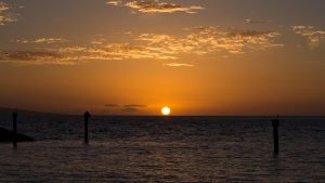
Image: Asa Ellison
Alerts (as of 1:00 a.m.)
There are no weather alerts posted at this time.
**Click directly on the images below to make them larger. Charts include: Maui County projected winds, tides, swell direction & period and expected wave heights.**
Maui Surf Forecast
North: Surf heights are expected to be waist high today. The best breaks could get up to waist/chest high on the sets.
West: Surf fills in today with knee/waist high waves and tummy/chest high waves on the sets. The best breaks could get up to chest/shoulder high on the sets.
South: Surf fills in today with knee/waist high waves and tummy/chest high waves on the sets. The best breaks could get up to chest/shoulder high on the sets.
A new south-southwest swell is forecast for Thursday / Friday, peaking Friday afternoon. A second pulse is forecast to peak Tuesday into Wednesday.
A small run of northwest will continue through the rest of the work week. Only minimal swell expected out of the NPAC for next week at this point but will keep an eye on it.
Keep in mind, surf heights are measured on the face of the wave from trough to crest. Heights vary from beach to beach, and at the same beach, from break to break.
**Click here for your detailed Maui County weather report.**

Image; NOAA

Image; NOAA

Image; NOAA

Image; NOAA

Image; NOAA

Image; NOAA

Image; NOAA

Image; NOAA

Image; NOAA
Sponsored Content


