

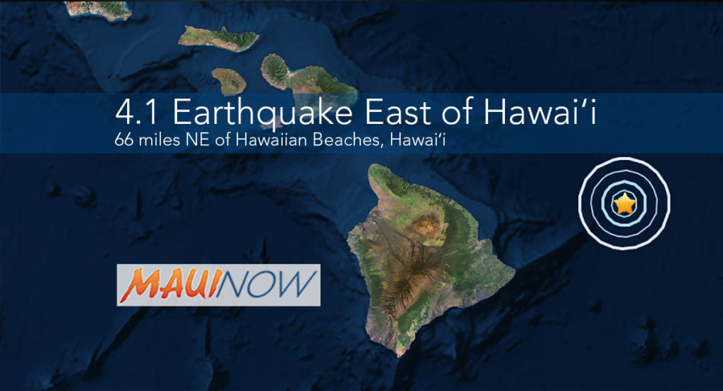
4.1 Earthquake East of Hawaiʻi Attributed to Bending of Oceanic Plate
There was no tsunami generated from a 4.1 preliminary magnitude earthquake reported at 8:35 p.m. on Friday, Aug. 18, 2017 east of the Big Island of Hawaiʻi, according to the Pacific Tsunami Warning Center.
Maui Now graphic. Background image courtesy USGS.
The US Geological Survey’s Hawaiian Volcano Observatory recorded the quake and noted its location, 66 miles northeast of Hawaiian Beaches, and 73 miles east-northeast of Hilo, Hawaiʻi, at a depth of 18 miles.
HVO Seismic Network Manager Brian Shiro, said the earthquake was “likely due to bending of the oceanic plate from the weight of the island” and said the incident poses no significant hazard. Authorities say the quake also had no apparent effect on Kīlauea Volcano’s ongoing eruptions.
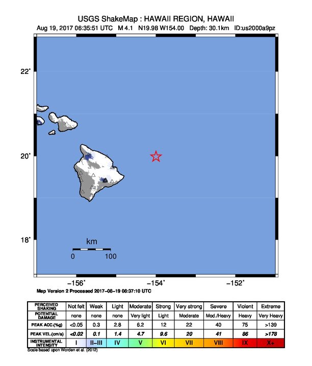
Hawaiʻi earthquake 8.18.17. Shake map courtesy USGS.
The USGS ‘Did you feel it?’ website received 7 felt reports within an hour of the earthquake, including reports from Pāpaʻikou, Volcano, Kamuela, Kula (Maui), and Honolulu (Oʻahu).
The USGS reports that the quake was centered:
63.3 mi ENE of Vacationland Hawaiʻi;
68.7 mi ENE of Hawaiian Paradise Park, Hawaiʻi;
71.3 mi ENE of Hawaiian Paradise Park, Hawaiʻi;
73.0 mi ENE of Hilo, Hawaiʻi; and
265.8 mi ESE of Honolulu, Hawaiʻi.
Sponsored Content


