

Possible Pe’ahi Swell This Weekend
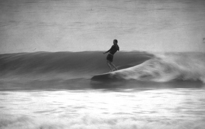
Surfer Alex Knost finds the perfect and stylish line in the smaller surf. Photo by Carlos Rock.
By Meteorologist Malika Dudley / Email: malika@mauinow.com
Alerts
A High Surf Advisory is in effect through 6:00 a.m. Sunday for the north facing shores of Maui and Moloka’i.
**Click directly on the images below to make them larger. Charts include: Maui County projected winds, forecasted swell direction, height & period, tides, a surface map and expected wave heights.**
 Maui County Surf Forecast
North: Surf heights are expected head high to overhead early today. Best breaks east of Ho’okipa could see bigger waves on the sets especially late in the day as a northwest swell builds.
West: Spots open to the north could see wave heights of about waist high early on, building to chest high or more late in the day. Otherwise, breaks that don’t catch the swells, and / or are shadowed from them, are forecasted to get smaller surf at ankle high or flat.
South: We don’t expect much for southern exposures – flat to knee high.
 Our current west-northwest swell is expected to continue to fade through Friday.
The same storm that produced our current swell is expected to bring us a reinforcing swell for the weekend. Another round of well overhead surf is expected. The swell should build in late Friday into early Saturday and peak Saturday afternoon possibly with waves up to 22 feet or more for the deep water breaks.
That same system could also possibly reorganize in the Gulf of Alaska bringing another shot of surf energy our way for the first week of February.
Nothing exciting out of the SPAC.
Keep in mind, surf heights are measured on the face of the wave from trough to crest. Heights vary from beach to beach, and at the same beach, from break to break.
**Click here for your detailed Maui County weather report.**

Image: NOAA / NWS
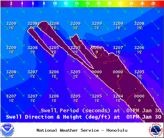
Image: NOAA / NWS
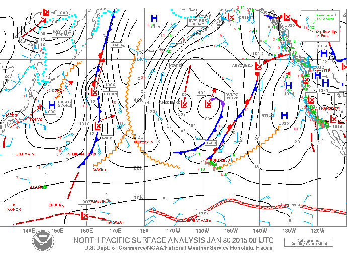
Image: NOAA / NWS
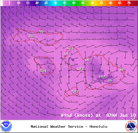
Image: NOAA / NWS
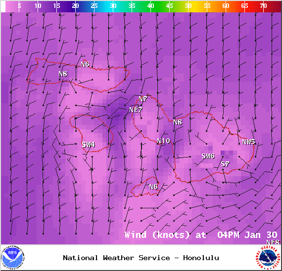
Image: NOAA / NWS
Sponsored Content


