New FEMA Flood Maps for Maui Take Effect Nov. 4, 2015
By Maui Now Staff
A series of public information meetings will be held to discuss changes in the new Federal Emergency Management Agency Digital Flood Insurance Rate Maps for Maui County.
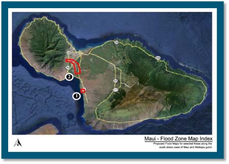
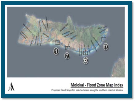
These map changes, primarily for Kaunakakai and south shore areas of Molokaʻi, and Kīhei and Waikapū areas on Maui, will become effective on Nov. 4, 2015.
The changes may result in a change in a property’s flood risk. This could in turn effect the requirement for federally mandated flood insurance, as well as construction standards.
The state Department of Land and Natural Resources,
Federal Emergency Management Agency, and County of Maui are inviting home and business owners to attend the following upcoming meetings to get more information:
- Tuesday, July 28, 2015, 1 to 4 p.m.: Kulana ʻŌiwi Pavilion, Dept. of Hawaiian Homelands, 600 Maunaloa Highway, Kaunakakai, Molokaʻi
- Thursday, July 30, 2015, 2 p.m. to 6 p.m.: Kīhei Community Center, 303 East Līpoa Street, Kīhei, Maui
DLNR is the state coordinating agency responsible for assisting the coordination of the National Flood Insurance Program between FEMA and County agencies in Hawaiʻi.
FEMA Region IX Flood Insurance Specialist, along with staff from Maui County and DLNR will be available to answer questions and assist property owners in determining their flood risk. County officials will be available to answer building permit questions for property owners considering developing in newly mapped high-risk flood zones.


