Hurricane Ignacio Expected to Generate Swell This Weekend
By Meteorologist Malika Dudley / Email: malika@mauinow.com
Alerts
See latest breaking news for any weather alerts posted with regard to Ignacio.
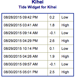
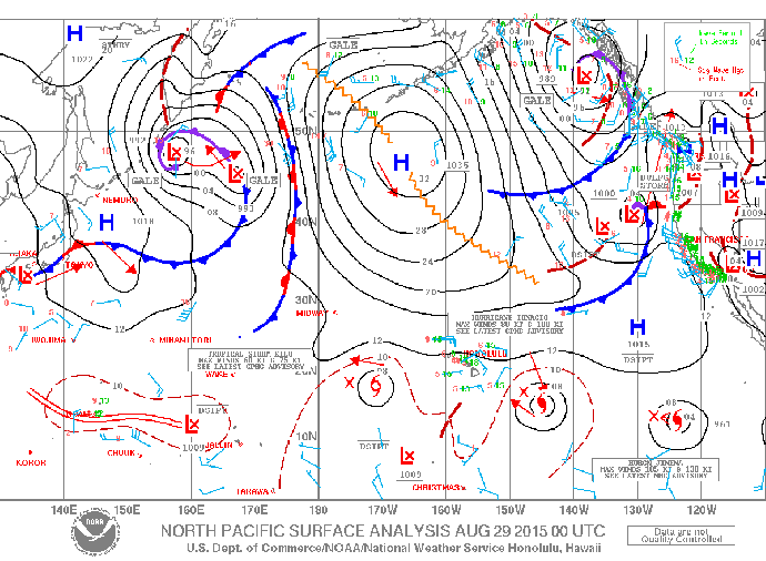
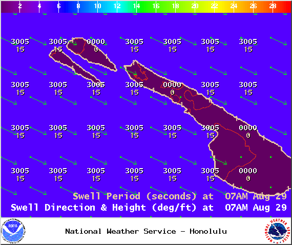
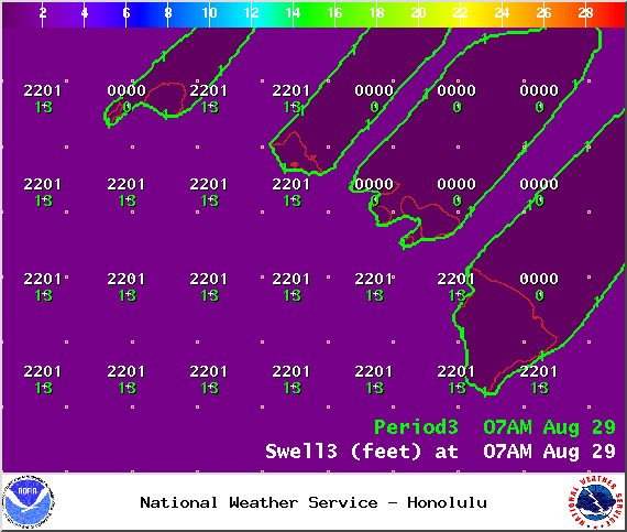
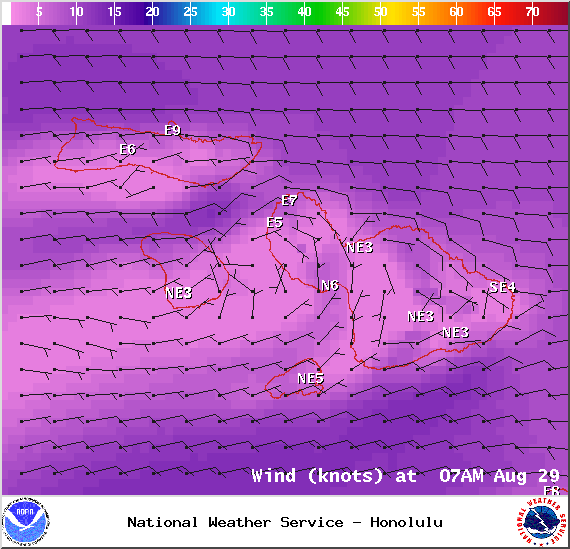
**Click directly on the images below to make them larger. Charts include: Maui County projected winds, tides, swell direction & period and expected wave heights.**
North: Wave heights of about knee/waist high are expected today for the best breaks. Best exposures may see chest high waves on the sets. Spots not catching the swell will be pretty flat.
West: Wave heights knee/waist/chest high are expected. Best exposures could get up to shoulder high on the sets. Spots shadowed by other islands will be smaller or even flat.
South: Wave heights knee/waist/chest high are expected at the best breaks. Chest/shoulder high waves could be seen on the sets.
 A west swell from former typhoon Atsani peaked overnight and is expected to continue into Saturday before slowly fading.
A new east swell from hurricane Ignacio will arrive late tonight and build to advisory levels for the Big Island on Saturday. This swell will continue to build through the weekend approaching warning levels late Sunday. Warning level surf for east facing shores is possible early next week but is highly dependent upon the strength and track of Ignacio.
Our current southerly mix of swells are expected to hold through the weekend.
Keep in mind, surf heights are measured on the face of the wave from trough to crest. Heights vary from beach to beach, and at the same beach, from break to break.
**Click here for your detailed Maui County weather report.**


