

NNW & SSW Swells Hold Today
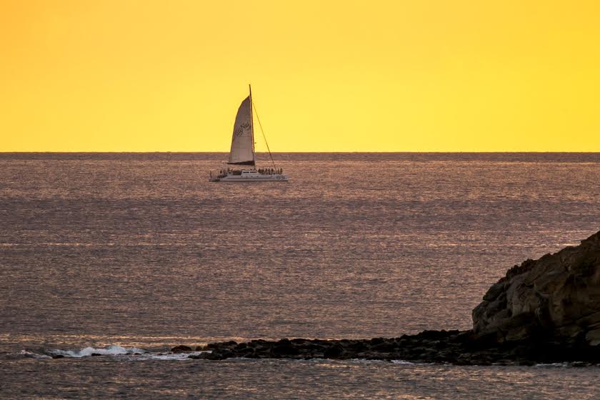
Image: Chris Tinker
Alerts
There are no weather alerts posted at this time.
Check our breaking news section for any urgent weather alerts.
**Click directly on the images below to make them larger. Charts include: Maui County projected winds, tides, swell direction & period and expected wave heights.**
Maui Surf Forecast
North: Wave heights are expected waist/chest high today in the morning. The best breaks could get sets up to head high on the sets.
West: Wave heights waist/chest high are expected today. Spots shadowed by other islands will be smaller.
South: The south-southwest is expected to bring waist/shoulder high waves today. The best breaks could get up to head high on the sets.
Our current north-northwest swell is expected to maintain through the middle of the week. Small west surf generated by Choi-Wan is expected to show Monday and Tuesday for exposure open to the swell.
Our current south-southwest swell is expected to hold Monday and begin to fade Tuesday.
East shores should remain small as light to moderate trade winds prevail. No small craft advisories are expected through the forecast period.
Nora may bring some east-southeast swell to the islands Monday/Tuesday. Will keep an eye on this and see how it develops.
Keep in mind, surf heights are measured on the face of the wave from trough to crest. Heights vary from beach to beach, and at the same beach, from break to break.
**Click here for your detailed Maui County weather report.**
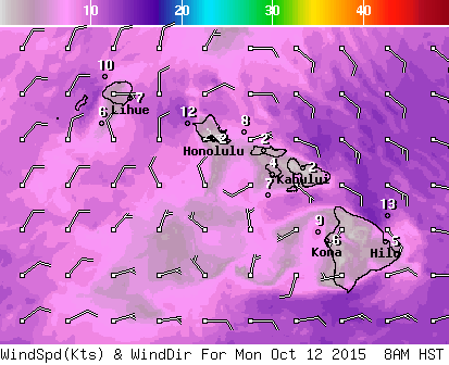
Image: NOAA / NWS
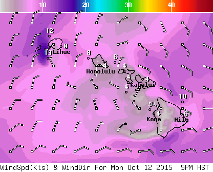
Image: NOAA / NWS
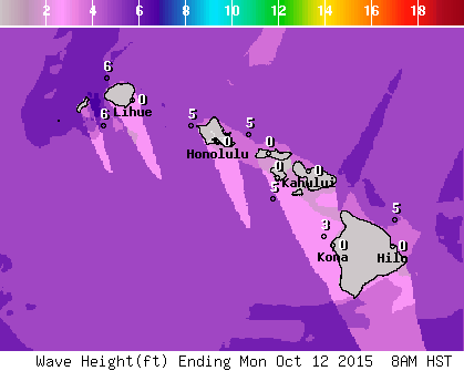
Image: NOAA / NWS

Image: NOAA / NWS
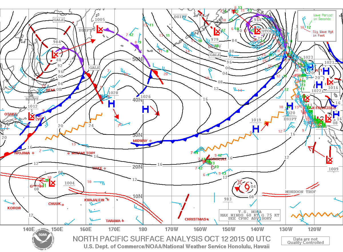
Image: NOAA / NWS
Sponsored Content


