

May 05, 2018 Surf Forecast
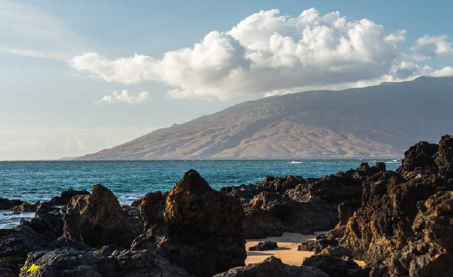
Photo Credit: Chris Archer / ArcherShoots
Swell Summary
Outlook through Friday May 11: There will be a series of small, mainly background southerly swells through the weekend and on through most of next week. A new north northwest swell is expected to arrive Sunday night, peak Monday, then lower gradually Monday night. A slightly larger and longer period north swell is expected to arrive on Monday, peak Monday night and early Tuesday, then lower gradually Tuesday night and Wednesday. Another smaller north northwest swell is expected during the Wednesday night through Friday time frame. Strengthening trade winds early next week will cause an increase in short period choppy surf along east facing shores.
Surf heights are forecast heights of the face, or front, of waves. The surf forecast is based on the significant wave height, the average height of the one third largest waves, at the locations of the largest breakers. Some waves may be more than twice as high as the significant wave height. Expect to encounter rip currents in or near any surf zone.
North
am ![]()
![]() pm
pm ![]()
![]()
Surf: Knee high NNW medium period swell.
Conditions: Semi glassy/semi bumpy in the morning with NW winds 5-10mph. Bumpy/semi bumpy conditions for the afternoon with the winds shifting NNW 10-15mph.
South
am ![]()
![]() pm
pm ![]()
![]()
Surf: Knee high S ground swell with occasional thigh high sets.
Conditions: Glassy in the morning with SE winds 5-10mph. Fairly clean conditions for the afternoon with the winds shifting NNE 20-25mph.
West
am ![]()
![]() pm
pm ![]()
![]()
Surf: Ankle to knee high NNW wind swell.
Conditions: Glassy in the morning with NNW winds less than 5mph. Bumpy/semi bumpy conditions for the afternoon as the winds increase to 5-10mph.

Image: NOAA

Image: NOAA

Image: NOAA

Image: NOAA

Image: NOAA
**Click directly on the images below to make them larger. Charts include: Maui County projected winds, tides, swell direction & period and expected wave heights.**
Data Courtesy of NOAA.gov and SwellInfo.com
Sponsored Content


