

Maui Surf Forecast for December 06, 2021
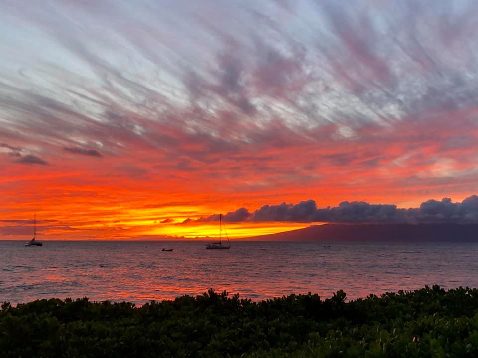
Photo Credit: Jack Reilly
HIGH SURF ADVISORY FOR NORTH FACING SHORES
| Shores | Today | Tuesday | ||
|---|---|---|---|---|
| Surf | Surf | |||
| AM | PM | AM | PM | |
| North Facing | 12-16 | 8-12 | 6-8 | 5-7 |
| West Facing | 6-8 | 6-8 | 3-5 | 2-4 |
| South Facing | 6-8 | 5-7 | 2-4 | 2-4 |
| East Facing | 5-7 | 5-7 | 4-6 | 3-5 |
| Weather | Cloudy. Showers with isolated thunderstorms. Some thunderstorms may produce gusty winds. |
|||||
|---|---|---|---|---|---|---|
| High Temperature | In the upper 70s. | |||||
| Winds | East winds 10 to 15 mph. | |||||
|
||||||
| Sunrise | 6:50 AM HST. | |||||
| Sunset | 5:44 PM HST. | |||||
| Weather | Cloudy. Showers with isolated thunderstorms. |
|||||
|---|---|---|---|---|---|---|
| Low Temperature | Around 70. | |||||
| Winds | East winds 5 to 10 mph. | |||||
|
||||||
| Weather | Mostly cloudy. Scattered showers. | |||||
|---|---|---|---|---|---|---|
| High Temperature | In the lower 80s. | |||||
| Winds | East winds around 10 mph. | |||||
|
||||||
| Sunrise | 6:50 AM HST. | |||||
| Sunset | 5:45 PM HST. | |||||
Swell Summary
The most recent swell observations at the far northwest offshore buoys are beginning to show that the large north swell that peaked yesterday has begun a slow and steady decline. Swell at both offshore NOAA 001 and 101 buoys are observing a near 10 foot, 12-14 second swell (versus near 20 feet, 15 seconds a mere 24 hours ago). Surf has fallen below High Surf Warning heights and therefore have lowered flags to a High Surf Advisory (HSA) that is in effect for all north facing shorelines through the day. The HSA for west facing shores has been allowed to expire as surf heights have fallen below 12 feet (8 feet Big Island). North shore surf will likely fall below HSA levels tonight and will fade to small heights from late Tuesday into the weekend.
Strong southerly winds within and near recently strong convergent overnight rain bands developing far east of a kona low northwest of Kauai have produced periods of rough, short period chop that will be impacting south facing shores today. The latest PacIOOS buoy at Pearl Harbor has shown a very significant spike in significant wave height from 3 feet a few hours ago to near 10 feet this 0300 HST hour. As high pressure builds in from the northeast later this week, strengthening trade winds will result in elevated rough wind wave surf along most east facing shores from mid week onward.
NORTH SHORE
am ![]()
![]() pm
pm ![]()
![]()
Surf: Minimal (ankle high or less) surf.
Conditions: Semi glassy/semi bumpy in the morning with N winds less than 5mph. Semi clean/textured conditions for the afternoon with the winds shifting ESE 5-10mph.
SOUTH SHORE
am ![]()
![]() pm
pm ![]()
![]()
Surf: Chest to shoulder high SSW wind swell for the morning with occasional head high sets. This drops in the afternoon with occasional shoulder high sets.
Conditions: Semi clean/textured in the morning with SE winds 15-20mph. Clean conditions for the afternoon with the winds shifting NNE 5-10mph.
WEST SIDE
am ![]()
![]() pm
pm ![]()
![]()
Surf: Knee to thigh high SSW wind swell for the morning drops a bit during the afternoon.
Conditions: Clean with NE winds less than 5mph in the morning shifting E 5-10mph in the afternoon.
Data Courtesy of NOAA.gov and SwellInfo.com
Sponsored Content


