No tsunami expected after 4.7 magnitude Maui earthquake

There is no tsunami expected after a 4.7 (4.5 preliminary) magnitude earthquake reported at 12:51 a.m. on Tuesday, Jan. 25 on the island of Maui, according to the Pacific Tsunami Warning Center.
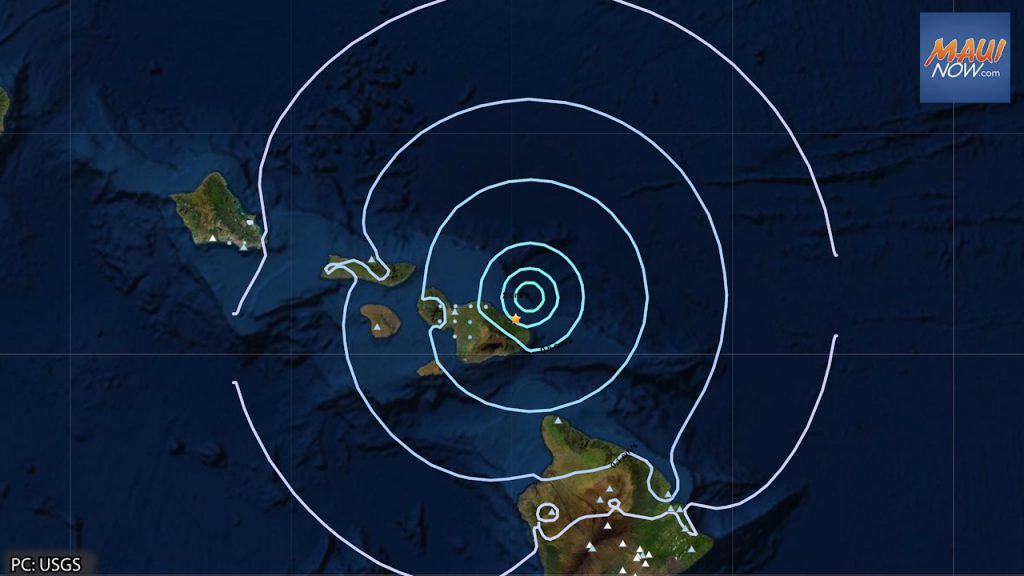
The Maui Emergency Management Agency and other state sources say the quake was located off the island of Kahoʻolawe, but USGS mapping and coordinates indicates the quake was centered closer to East Maui. According to the USGS, the quake was centered 4.2 miles (6 km) E of Wailua, and occurred at a depth of 9.8 km.
The USGS reports the distance from nearby cities included the following:
- 6.8 km (4.2 mi) E of Wailua, Maui
- 40.0 km (24.8 mi) ENE of Kīhei, Maui
- 42.3 km (26.2 mi) E of Kahului, Maui
- 45.6 km (28.2 mi) E of Wailuku, Maui
- 192.7 km (119.5 mi) ESE of Honolulu, Oʻahu
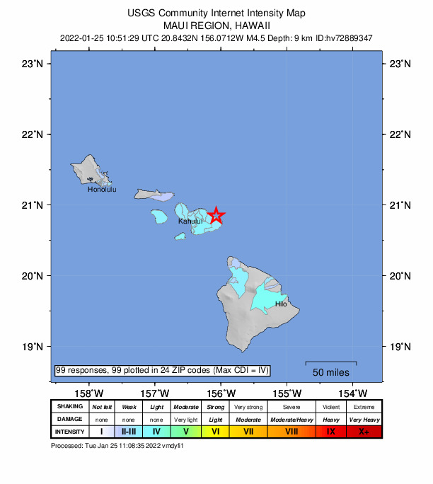
Within the first 25 minutes of the quake, the USGS “Did You Feel It?” website recorded 100 felt responses, with some reports from as far away as Honolulu and Hilo. Most of the initial responses were in Kīhei and Makawao on the island of Maui, with the quake felt across Maui County.

Officials with the US Geological Survey’s Hawaiian Volcano Observatory say the site received more than 475 felt reports within the first hour of the earthquake.
HVO Scientist-in-Charge, Ken Hon said the earthquake had no observable impact on Hawaii’s active volcanoes. “This earthquake was located off the coast of Maui at a depth indicative of oceanic plate bending due to the weight of the islands. This is a common source for earthquakes in this area and is not related to volcanic activity,” Hon said in a press release. “ Webcams and other data streams show no impact on Mauna Loa or Kīlauea.”
This post will be updated with more information as it becomes available.


_1768613517521.webp)


