

Study: Maui ag acreage drops 19% between 2015-2020 due to loss of sugar production
The Hawaiʻi Department of Agriculture released an update to the 2020 Agricultural Land Use Baseline Study which summarizes agricultural land use in the state. The newly released study adds new agricultural land use data for Maui County and now completes the 2020 baseline report.
The first 2020 update was issued in May 2021 and included data for Oʻahu, Hawaiʻi Island and Kauaʻi. It should be noted that the impacts of COVID-19 on agriculture are not reflected in the 2020 reports as much of the data was compiled before the pandemic. The 2020 reports update data in the 2015 baseline report.
With the Maui County data added, the 2020 baseline report for the state has:
- 886,211 total agricultural acres, a decrease of 27,050 acres, or minus 3% from 2015.
- Total acres in planted crops in 2020 was 120,632, a decrease of 31,199 acres or minus 21%.
*The loss in planted acres was attributed to the closure of the Hawaiʻi Commercial & Sugar Company on Maui in 2016 which removed 38,810 acres in crop acreage.
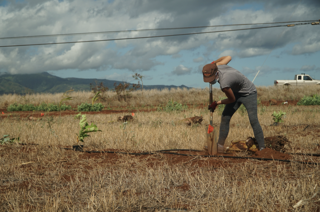
The baseline studies provide a wide range of maps and graphics depicting the location of crops with island-by-island summaries. It is a snapshot in time intended to help industry, government and the community in making decisions that affect agricultural land use in the state.
The 2020 updated reports and the 2015 report were completed under contracts with the University of Hawaiʻi at Hilo’s Spatial Data Analysis and Visualization Lab which used Geographic Information System technology and aerial imagery from several sources to digitally document the footprint of lands engaged in commercial scale agriculture statewide.
Both reports are available on the HDOA website at: http://hdoa.hawaii.gov/salubreports. The GIS metadata for both the 2015 and 2020 reports are available on the State Office of Planning’s Geospacial Data Portal at: https://geoportal.hawaii.gov/.
“The agricultural baseline reports are valuable in tracking the state of agriculture in Hawaiʻi and provides a gauge to long-term planning for the future,” said Phyllis Shimabukuro-Geiser, chairperson of the Hawaiʻi Board of Agriculture. “The 2020 baseline data will help determine the impact of the COVID-19 pandemic in future years and may help to develop early responses to local, national and global crises.”
Maui County highlights include the following:
- Maui: During that period, the data shows that total ag acreage on Maui Island dropped 19% to 122,959 acres mainly due to the loss of sugarcane production. Some of the loss in acreage was partially offset by gains in other crops, such as diversified crops (+1,823 acres, or +115%), macadamia nuts (+606 acres, or +32 %), tropical fruits (+508 acres, or +488%). Pasture lands also increased (+6,794, or +6%). Crops that decreased acreage on the island were seed production and pineapple.
- Molokaʻi: On Molokaʻi, crop acreage was stable between 2015 and 2020 with 41,747 total acres (-0.3 acres).
- Lānaʻi: Lānaʻi had an increase of 65 acres in agriculture, totaling 105 acres (+62%).
Other island data includes the following:
- Oʻahu: Recorded in the previous 2020 update, Oʻahu data showed a total ag acreage of 41,312 acres, an increase of 495 acres
(+1.2%) from the data in the 2015 study. However, crop acreage rose by 924 acres (+4.1%) and were mostly driven by diversified agriculture with an increase of 730 acres (+7.4%). Taro acreage also increased by 26 acres (+51%) and tropical fruit acreage increased by 33 acres (+14.5%) from 2015. The gains on Oʻahu were offset by loss of acreage in pasture lands which decreased by a total of about 430 acres, mainly due to the creation of a solar project on former cattle pasture lands in Waipiʻo. The study also tallied the loss of 360 acres of diversified agricultural lands to a subdivision development alongside the H-2 Highway. - Hawaiʻi Island: On Hawaiʻi Island, total agricultural acreage was 614,552, a drop of 891 acres (-0.14%) from 2015. During the past five years, the island has been challenged by natural disasters, including adverse weather and volcanic activity. In addition, island agriculture contended with invasive pests such as the coffee berry borer and spittle bug. The 2018 eruption at Kīlauea Volcano’s East Rift Zone covered about 1,000 acres of productive agricultural lands in Puna, which included diversified crops, horticulture, macadamia nut, papaya and tropical fruit farms. Despite those losses, most of those crops gained acreage during the survey period with diversified crops gaining 1,076 acres (+33%), papaya gaining 640 acres (+25%) and tropical fruits gaining 167 acres (+5%). Acreage in dairy production dropped about 1,000 acres due to the closure of Big Island Dairy in 2019. The survey did note the first return of sugar cultivation to the island with 14 acres in Hāwī that is part of a distillery operation.
- Kauaʻi: Kauaʻi saw a total ag acreage of 65,536, gaining 2,294 acres (+3.6%) over 2015. Kauaʻi crops in particular gained more than 1,880 acres (+8.8%) over 2015. Of that increase, more than 950 acres was attributed to seed production and 816 acres attributed to commercial forestry operations. Banana, coffee, taro and tropical fruits also gained acreage on the island. However, diversified crops lost 53 acres (-4.4%) from 2015. Pasture lands continue to make up the majority of agricultural acreage (65%) on Kauaʻi.
Sponsored Content


