

Mauna Loa current unrest is likely driven by renewed input of magma beneath summit

Mauna Loa is not erupting and there are no signs of an imminent eruption at this time. However, Mauna Loa continues to be in a state of heightened unrest as indicated by increased earthquake activity and inflation of the summit, according to a daily update issued by the Hawaiian Volcano Observatory.
“The current unrest is most likely being driven by renewed input of magma 2–5 miles (3–8 km) beneath Mauna Loa’s summit. Monitoring data show no significant changes in the past day,” according to an activity summary.
During the past 24 hours, HVO detected 25 small-magnitude (below M3.0) earthquakes 2–3 miles (3–5 km) below Mokuāʻweoweo caldera and 4–5 miles (6–8 km) beneath the upper-elevation northwest flank of Mauna Loa. Both of these regions have historically been seismically active during periods of unrest on Mauna Loa, according to the update.
“Global Positioning System instruments at the summit and on the flanks of Mauna Loa continue to measure inflation at rates elevated since mid-September. However, tiltmeters at the summit are not showing significant surface deformation over the past week,” according to the HVO.
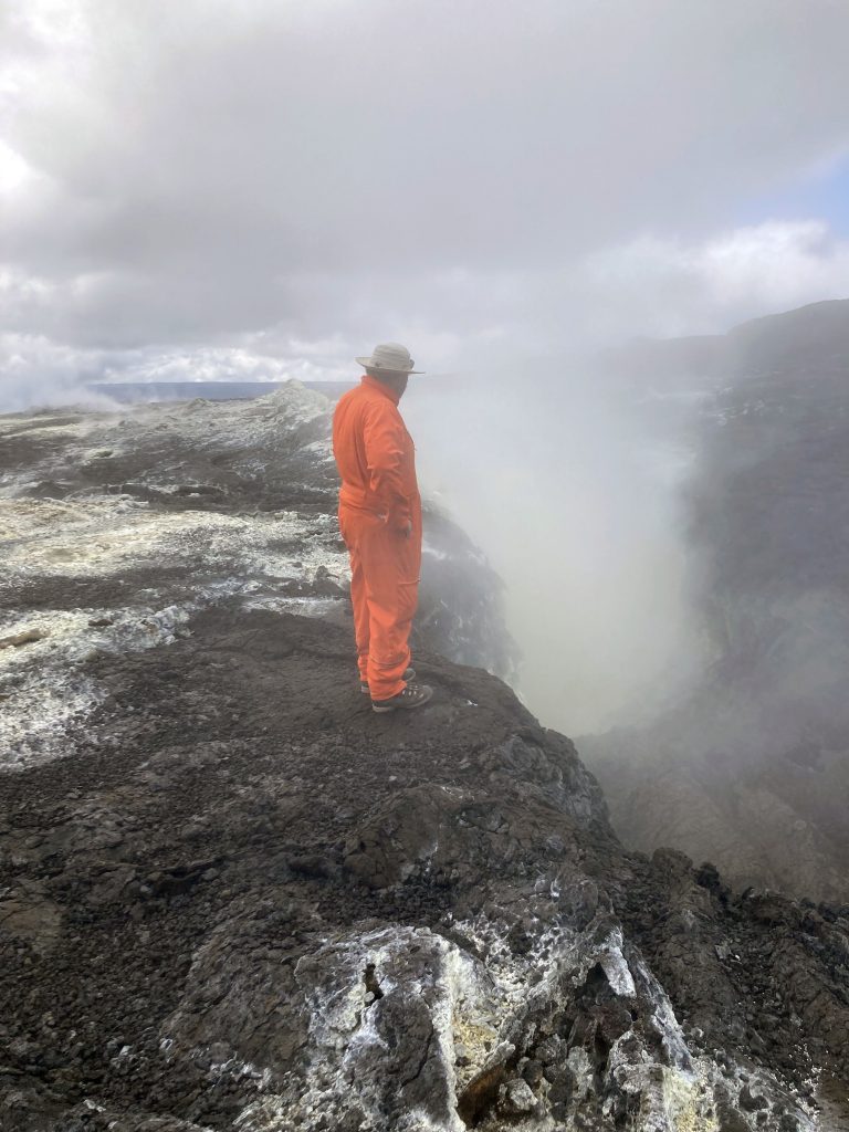
The HVO reports that concentrations of sulfur dioxide (SO2), hydrogen sulfide (H2S), and carbon dioxide (CO2), as well as fumarole temperatures, remain stable at the summit and at Sulphur Cone on the upper Southwest Rift Zone. Webcam and thermal camera views have shown no changes to the volcanic landscape on Mauna Loa over the past week.
According to the HVO, the current locations of earthquakes and deformation do not necessarily mean that the next eruption will occur there. Mauna Loa remains at an elevated alert level of ADVISORY/YELLOW. The current increase in activity “does not suggest that a progression to an eruption is certain, and there are no indications that an eruption is imminent.”
The HVO notes that Mauna Loa is the largest active volcano on our planet and covers half of the Island of Hawaiʻi. “Eruptions tend to produce voluminous, fast-moving lava flows that can impact communities on the east and west sides of the Island,” according to the agency.
“Mauna Loa eruptions typically start at the summit and, within minutes to months of eruption onset, can migrate into either the Northeast or Southwest Rift Zone, or radial vents on the north flank,” the HVO reports.
According to the HVO, since its first well-documented eruption in 1843, the volcano has erupted 33 times with intervals between eruptions ranging from months to decades. Mauna Loa last erupted in 1984.
Sponsored Content


