 Hawai'i Journalism Initiative
Beach restoration, cleanup of abandoned cars among ideas for Olowalu’s coast when highway is realigned
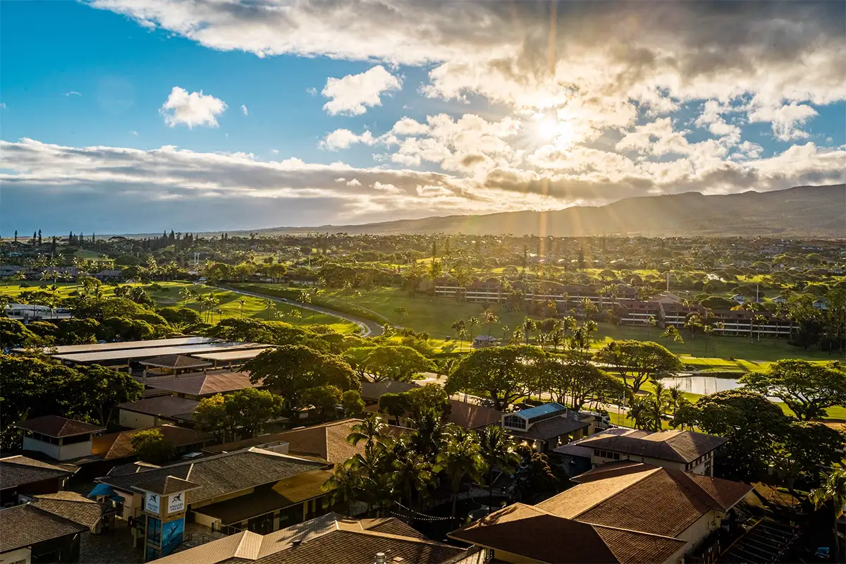
When a 6-mile portion of Honoapiʻilani Highway that hugs the coast in West Maui is moved inland, what should be done with the precious land no longer needed for transportation?
The 50 or so people who attended a community meeting on Thursday night had plenty of ideas, from creating parks to growing kalo.

With the State of Hawaiʻi’s planned move of Honoapi’ilani Highway inland due to sea level rise and erosion, The Nature Conservancy and the University of Hawai’i’s Community Design Center are collaborating on an 18-month study to come up with ideas for using the coastal land now taken up by the roadway.
HJI Weekly Newsletter
Get more stories like these delivered straight to your inbox. Sign up for the Hawai‘i Journalism Initiative's weekly newsletter:
The developing plan covers a 6-mile stretch from Ukumehame to Olowalu and a major part of the project is how to deal with climate change and the rising sea levels that are affecting the area.
At the two-hour Thursday meeting at the Lahaina Intermediate School cafeteria, which was a makeup from the one canceled a week ago due to bad weather, post-it notes were used to place ideas for what the people in attendance would like to see happen to the land.

The notes were posted in several places, including a large “talk story” map of the area in the back of the cafeteria. The ideas included:
- Growing native plants or other non-invasive plants to help with sedimentation runoff into the ocean, which harms the vulnerable Olowalu reef
- Making parks
- Beach restoration for camping, surfing and fishing
- Protecting stream flows, mauka to makai
- Growing coconut and kalo
- Protecting the area from tourism
- Restoring wetlands
- Cleaning up abandoned cars
- And, helping unhoused people in the area move somewhere safe
“You see all the stickers up there?” octogenarian Felimon Sadang said, pointing to the map. “There’s a lot to do. We’ve got to get comments from everybody.”
Sadang, who remembers going on family fishing trips as a young man near the Olowalu General Store, had thoughts of his own: “Leave the old road, make the top road so the people can enjoy the beach.”
Public input for the study, which is called “Olowalu: The Road to Resilience,” is part of the first of four phases that will end in May 2026.
Virtual meetings are scheduled on Tuesday from noon to 1:30 p.m. and Thursday from 5:30 to 7 p.m., when more public input is being sought.
The Olowalu reef is a vast 1,000-acre ancient coral expanse that is home to the largest known manta ray population in the United States and the oldest coral in the main Hawaiian Islands. In 2017, it was named a Mission Blue Hope Spot for its rich diversity of marine life.

“Ultimately, we are working to protect the coral reef, the Olowalu coral reef,” said Tamara Farnsworth, The Nature Conservancy’s coastal resilience project manager for the Maui Marine Program. “I think the goal is to first create a design that is practical and useful, something that reflects the community’s input and their vision and their desires and wishes, and to really put a focus on restoration, conservation, and protection and preservation of the area, because it’s a very sacred and special place.”
Judith Stilgenbauer, a Fellow of the American Society of Landscape Architects, the principal investigator and a professor in the UH school of architecture, also spoke at the event.
Stilgenbauer’s team of six, two research assistants and four UH students, prepared numerous visual aids for the evening, including the large talk story map that drew large interest from the community members all night.

Two people who spent much of their time at the talk story map, David McPherson and his wife Jill LaBram, live in Kapaiki Village, also known as Olowalu Village just mauka of the current highway. They are concerned about the cultural aspects of the plan in the works, which could include burial grounds.
“There’s definitely a very big cultural component to it,” said McPherson, who owns a farm where he grew cacao until recently when he stopped for family reasons. “Respecting that and dealing with the reef, I think, is a really big deal. The natural resources for us is really important. Protecting the land and honoring the past is a really big thing.”
The couple has a 9-year-old son, Van, who loves fishing, “so it’s all important to us,” McPherson said.
LaBram is operations manager for the Mauna Kahālāwai Watershed Partnership, which was started in 1998 and now has 11 employees based in Olowalu. The partnership protects forested watersheds, native ecosystems and critical natural resources that generate most of Maui’s fresh water supply.
“The big things that we do is we build fences to keep feral ungulates (out),” LaBram said. “So like hooved animals, pigs, goats, deer, who can cause erosion, trample plants, eat the native vegetation, increase that erosion, which affects our streams and comes out onto the reef. So, the mauka to makai connection.”
She said they also do invasive plant monitoring and removal, because if the invasive species outcompete the native species and “hog more water,” then they create monotypic stands where “you don’t have these beautiful layered native forests.”

Emily Fielding, the marine conservation program director for The Nature Conservancy, said “there’s an opportunity to use nature-based solutions to adapt to climate change, but in so doing we want to make sure that both people and nature thrive. We want to make sure that as we think about this space we’re thinking about enhanced recreational space for people.”
She said the space already is used by thousands of people a day at its peak use of time when there’s a south swell.
“It is a very, very highly used space recreationally,” she said. “It is a very special area to the families that live there and have grown up there. So, it’s a tremendous opportunity to keep all the great values of the place that exist today and help to make those even better.”
Maui County Council Member Tamara Paltin, who holds the West Maui seat on the council, said something needs to be done about the impacts of sea-level rise that often result in salt water crashing onto the highway near Ukumehame. She also is concerned about the possible dumping of abandoned cars in the middle of the project.
“If we don’t plan for what the old road is going to become, we’ve seen what happens, so I think it’s important to get the community input and then implement the desires and the plan,” Paltin said. “Otherwise, it will just become a dumping ground.”
Sadang knows he can’t go back to the Olowalu of his youth but hopes they can address the challenges moving forward.
“I’ve seen this island grow from pigpen and chicken coop to concrete and steel,” he said. “What we like see? You no can go back already because we know there’s over-development, less road access, we’ve got sea-level rise coming up, we get not enough land for people to build their house on, (at least) not affordably. … We need to fix all that.”