

UH to offer free monthly climate summaries for Hawaiʻi subscribers
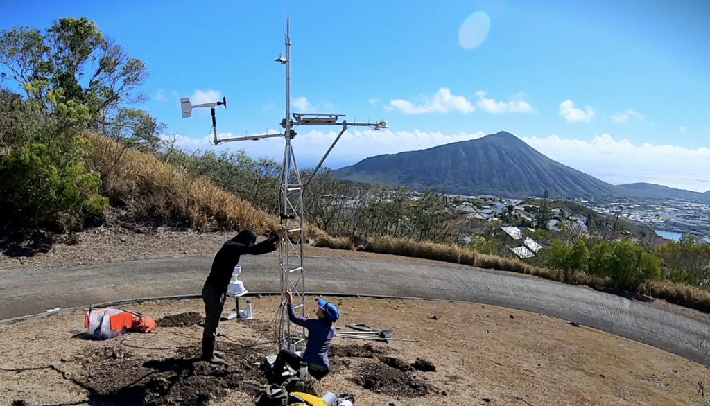
The University of Hawaiʻi is launching a free monthly climate summary service beginning Wednesday that could help Maui County residents track drought conditions, watershed health, temperature and rainfall patterns in places such as ʻĪao Valley, Hāna, Kīhei and West Maui.
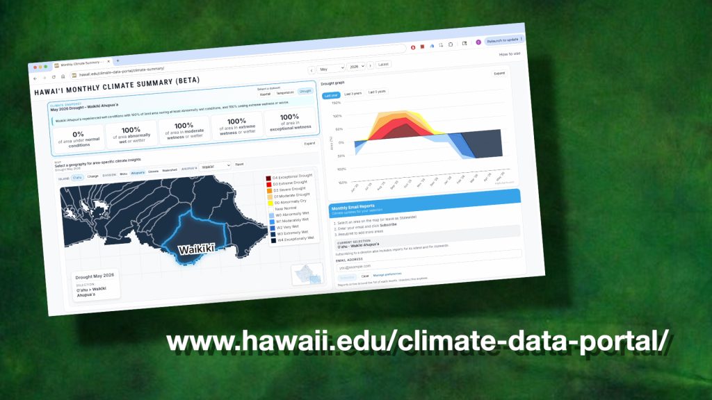
The university’s Hawaiʻi Climate Data Portal will make available a tool designed to turn complex climate data into plain-language summaries that communities across the state can use more easily.
Subscribers can pick multiple locations on an interactive map and receive monthly email summaries tied to that place, along with access to an online dashboard for deeper data.
The tool can use traditional boundaries such as moku and ahupuaʻa, as well as standard climate divisions and watershed boundaries, according to UH officials.

Ryan Longman, director of the Hawaiʻi Climate Data Portal and Pacific Islands Climate Adaptation Science Center University Consortium program director at Hawaiʻi Sea Grant, said the goal is to give people climate information they can understand and apply locally.
Cherryle Heu, the portal’s climate data analyst and lead developer, said the point-based approach lets the numbers reflect what is happening at a specific location rather than a statewide average.
The UH announcement also notes that the project was completed with support from state water managers, Hawaiʻi Sea Grant, the Pacific Islands Climate Adaptation Science Center and NSF EPSCoR Change Hawaiʻi after the original federal drought grant was canceled in December 2025.
The Hawaiʻi Climate Data Portal already provides climate data tools for the state, including near-real-time monthly rainfall and daily temperature maps, UH says. The monthly summary service expands that work by packaging the data into a subscription format aimed at residents, ranchers, teachers and water managers.
Sponsored Content


