

Maui County Swells Easing on All Shores Today
By Meteorologist Malika Dudley / Email: malika@mauinow.com
The SMALL CRAFT ADVISORY is still posted for Maui County windward waters, the Pailolo Channel and Māʻalaea Bay until 6 p.m. Monday, Nov. 3, 2014. Rough seas are expected up to 10 feet. Winds are forecasted out of the east around 25 knots, with higher gusts. Inexperienced mariners are cautioned to avoid navigating in these conditions.
**All charts are from the National Weather Service in Honolulu. Simply click on the image to see it larger.**
North: Surf is expected in the knee to chest high range. Mainly trade swell with north swell fading. Best breaks could see head high waves due to the trade swell.
West: Breaks that don’t catch the swells are forecasted to get smaller surf in the ankle high range. Spots that are open to the north swell should see waist to chest high waves, slowly easing in the afternoon.
South: Ankle-slappers to possibly thigh high surf is expected as the south-southwest swell eases.
Our north swell (350-360°) is fading through today. A new northwest swell (315-335°) is expected to peak in the waist to head high range Tuesday afternoon. This swell is expected to hold through the end of the work week. Another north-northwest swell (330-360°) is possible Wednesday, peaking overnight. Maybe an even bigger swell on the horizon for next weekend. Typhoon Nuri could possibly bring Maui County a swell around 11/11.
Our trade wind swell is expected to drop out over the next few days.
Our current south-southwest swell (200-180°) is expected to slowly fade out through the first half of this week. After that swell subsides, surf goes quiet with not much on the horizon out of the South Pacific.
Keep in mind, surf heights are measured on the face of the wave from trough to crest. Heights vary from beach to beach, and at the same beach, from break to break.
**Click here for Malika’s full weather forecast.**
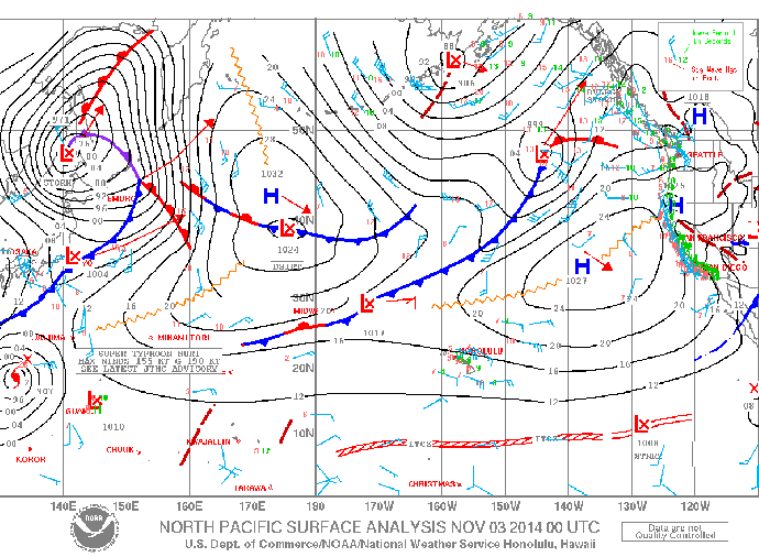
Surface map for Monday Nov. 3, 2014 / Image: NOAA / NWS
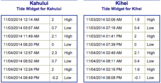
Tides for Monday Nov. 3, 2014 / Image: NOAA / NWS
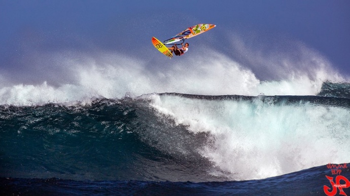
Antoine Martin at Ho’okipa / Image: Jimmie Hepp
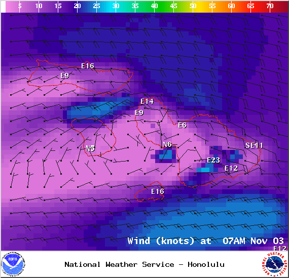
Winds at 7am on Monday Nov. 3, 2014 / Image: NOAA / NWS
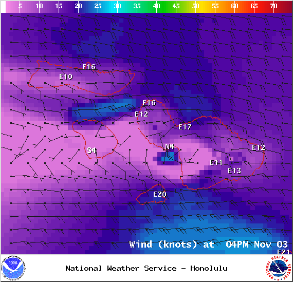
Winds at 4pm on Monday Nov. 3, 2014 / Image: NOAA / NWS
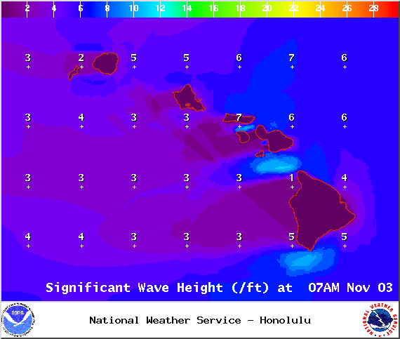
Surf heights at 7am on Monday Nov. 3, 2014 / Image: NOAA / NWS
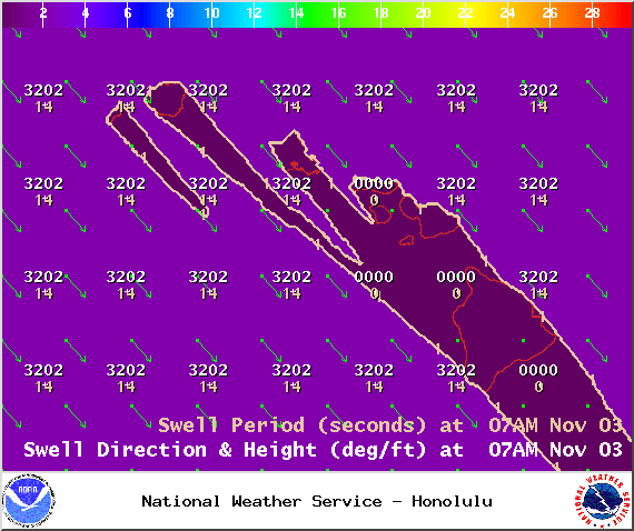
Swell 1 on Monday Nov. 3, 2014 / Image: NOAA / NWS
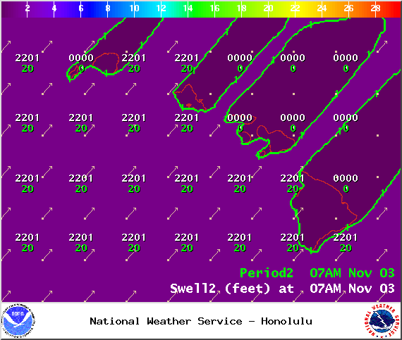
Swell 2 on Monday Nov. 3, 2014 / Image: NOAA / NWS
Sponsored Content


