

SSE Builds Today, Peaks Over Weekend
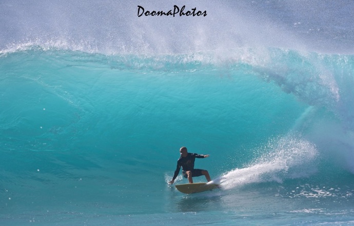
Image: Dooma Photos
By Meteorologist Malika Dudley / Email: malika@mauinow.com
Alerts
A High Surf Advisory is posted for east facing shores of Maui and Moloka’i through 6:00 a.m. Friday. Surf is expected to reach 5 to 8 foot faces. Expect strong breaking waves, shore break and strong longshore and rip currents making swimming difficult and dangerous.
A Small Craft Advisory is posted for all Maui County channels and Māʻalaea Bay through 6:00 p.m. Friday. East winds up to 30 knots are forecasted along with rough seas of 10 to 13 feet. Inexperienced mariners should avoid navigating in these conditions.
**Click directly on the images below to make them larger. Charts include: Maui County projected winds, forecasted swell direction, height & period, tides, a surface map and expected wave heights.**
 Maui County Surf Forecast
North: Wave heights are expected to start out around chest/head high today with standouts still reaching overhead on the sets early in the day for spots along Hana for example.
West: Pretty flat conditions are expected today for spots shadowed from the swells.
South: Knee to waist high waves are expected today. Best breaks could get a bit bigger on the sets.
 A boost out of the south-southeast is expected to build Friday and peak over the weekend. This swell will fade out early next week. Next week we could see some fun activity building in around May 5th.
Not a lot expected out of the North Pacific for the next few days. A couple of small swells could move in around May 5th and again on the 8th.
Keep in mind, surf heights are measured on the face of the wave from trough to crest. Heights vary from beach to beach, and at the same beach, from break to break.
**Click here for your detailed Maui County weather report.**

Image: NOAA / NWS
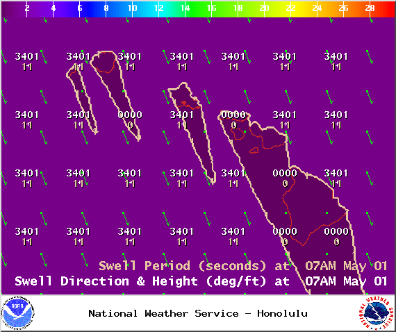
Image: NOAA / NWS
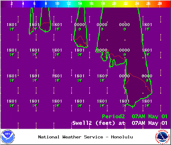
Image: NOAA / NWS
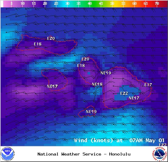
Image: NOAA / NWS
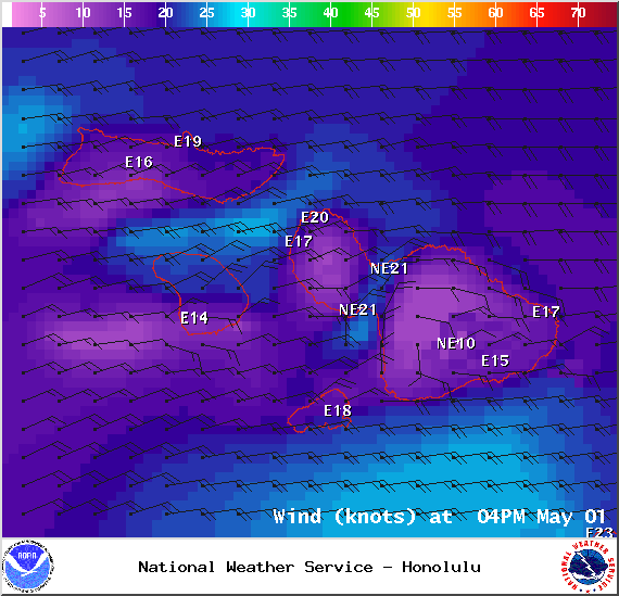
Image: NOAA / NWS
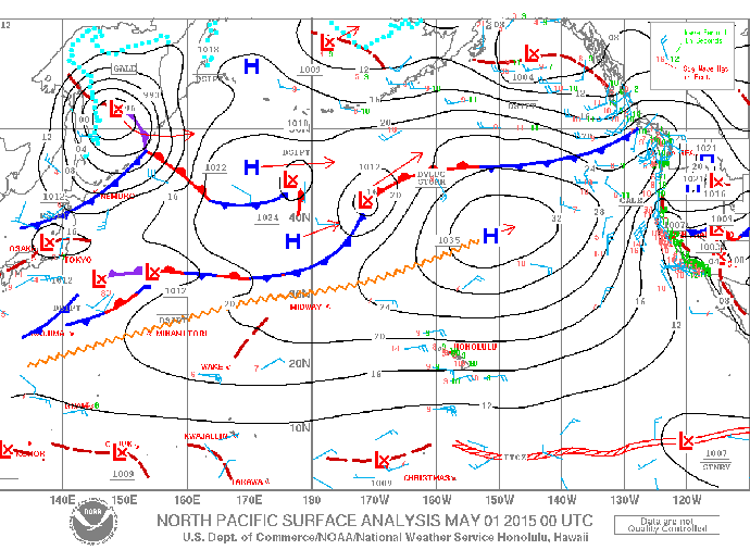
Image: NOAA / NWS
Sponsored Content


