

Trade Swell Holds, SSW Begins to Fade
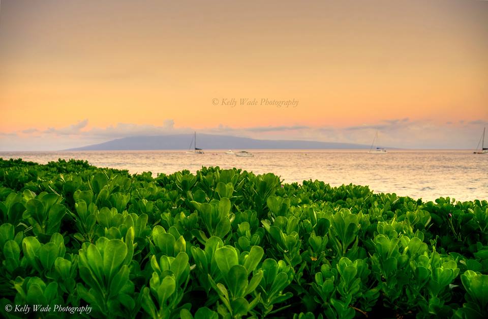
Image: Kelly Wade
Alerts
A Small Craft Advisory is posted for the Pailolo and ʻAlenuihāhā channels and Māʻalaea Bay through 6 p.m. Wednesday for east winds up to 25 knots and rough seas up to 11 feet.
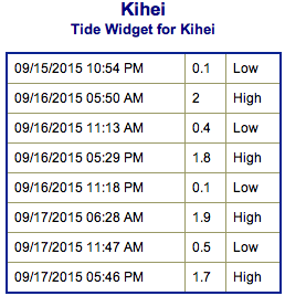
**Click directly on the images below to make them larger. Charts include: Maui County projected winds, tides, swell direction & period and expected wave heights.**
 Maui Surf Forecast
North: Wave heights are expected waist/chest high today for spots catching the trade swell. Many spots will remain pretty flat.
West: Wave heights waist/chest high are expected early in the day today. Spots shadowed by other islands will be smaller. Trending down through the day.
South: The south-southwest is expected to bring waist/shoulder high waves early in the day today. The best breaks could get head high on the sets. Trending down through the day.
 Our current fun south-southwest has topped out and will be trending down today. A couple reinforcing swells are likely to build in later this week and into the weekend and even into early next week.
A small northwest is expected to hold through today. Otherwise, nothing of note out of the NPAC.
Keep in mind, surf heights are measured on the face of the wave from trough to crest. Heights vary from beach to beach, and at the same beach, from break to break.
**Click here for your detailed Maui County weather report.**
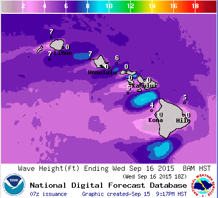
Image: NOAA / NWS
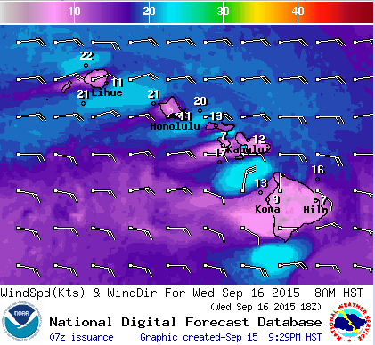
Image: NOAA / NWS

Image: NOAA / NWS
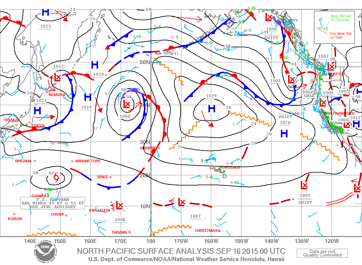
Image: NOAA / NWS
Sponsored Content


