

March 03, 2018 Surf Forecast
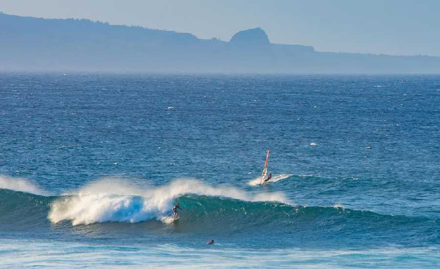
Photo: Asa Ellison
Swell Summary
Outlook through Friday March 09: Surf along east facing shores will gradually ease Sunday into early next week, but will remain rough due to strong onshore winds. A small south swell will fill in over the weekend, then trend down early next week. A mix of small to moderate north and northwest swells is expected by Sunday, with similar sources continuing next week. Two larger overlapping northerly swells are possible Tuesday through Friday, which could generate advisory level surf along north facing shores beginning as early as Tuesday night.
Surf heights are forecast heights of the face, or front, of waves. The surf forecast is based on the significant wave height, the average height of the one third largest waves, at the locations of the largest breakers. Some waves may be more than twice as high as the significant wave height. Expect to encounter rip currents in or near any surf zone.
North
am ![]()
![]() pm
pm ![]()
![]()
Surf: Waist high ENE medium period swell with occasional stomach high sets.
Conditions: Sideshore/choppy with E winds 20-25mph in the morning decreasing to 15-20mph in the afternoon.
South
am ![]()
![]() pm
pm ![]()
![]()
Surf: Knee high S ground swell with occasional thigh high sets.
Conditions: Semi glassy/semi bumpy with N winds less than 5mph in the morning shifting WNW for the afternoon.
West
am ![]()
![]() pm
pm ![]()
![]()
Surf: Minimal surf (ankle or less) for the morning with a knee high NNE long period swell filling in during the afternoon with occasional thigh sets.
Conditions: Clean with E winds 15-20mph.

Image: NOAA

Image: NOAA

Image: NOAA

Image: NOAA

Image: NOAA

Image: NOAA
**Click directly on the images below to make them larger. Charts include: Maui County projected winds, tides, swell direction & period and expected wave heights.**
Data Courtesy of NOAA.gov and SwellInfo.com
Sponsored Content


