Peak Wind and Rainfall Amounts for Maui
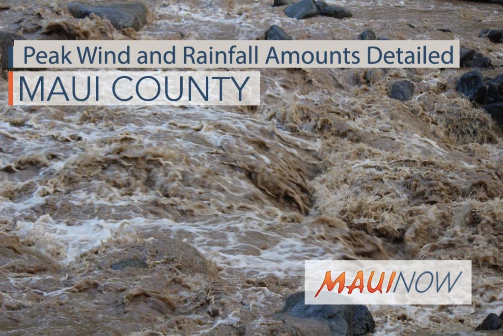
Maui Now graphic. Peak Wind and Rain Forecast associated with Hurricane Lane.
By Wendy Osher
UPDATE: 5:37 a.m. HST 8.21.18
The National Weather Service has outlined anticipated peak wind and rainfall amounts for various areas across Maui and Hawaiʻi Counties. This post has been compiled using information from a 5:37 a.m. forecast update on Wednesday, Aug. 22, 2018. The full report is updated throughout the day at the following direct link.
MAUI:
Wailuku, Waiheʻe, Kapalua: 25-35 mph with gusts to 50 mph; Additional 18-24 inches, with locally higher amounts
Lahaina, Olowalu, Nāpili: 25-35 mph with gusts to 50 mph; Additional 12-18 inches, with locally higher amounts
Kahului, Puʻunēnē, Māʻalaea: 25-35 mph with gusts to 50 mph; Additional 8-12 inches, with locally higher amounts
Haʻikū, Hāna, Kīpahulu: 25-35 mph with gusts to 50 mph; Additional 12-18 inches, with locally higher amounts
Kīhei, Wailea, Kēōkea: 25-35 mph with gusts to 50 mph; Additional 12-18 inches, with locally higher amounts
Haleakalā National Park: 25-35 mph with gusts to 50 mph; Additional 18-24 inches, with locally higher amounts
MOLOKAI:
Kaunakakai, Kualapuʻu, Kepūhi: 30-40 mph with gusts to 60 mph; Additional 10-15 inches, with locally higher amounts
Pūkoʻo, Hālawa Valley, Kalaupapa: 30-40 mph with gusts to 55 mph; Additional 10-15 inches, with locally higher amounts
LANAI:
Mānele Harbor, Kaumalapau Harbor, Shipwreck Beach: 30-40 mph with gusts to 60 mph; 6-10 inches, with locally higher amounts
Lānaʻi City, Lānaʻi Airport: 30-40 mph with gusts to 60 mph; 12-18 inches, with locally higher amounts
KAHOOLAWE:
Kahoʻolawe: 30-40 mph with gusts to 60 mph; 3-6 inches, with locally higher amounts
BIG ISLAND:
Mauna Kea Summit, Mauna Loa Summit: 30-40 mph with gusts to 55 mph; Additional 12-18 inches, with locally higher amounts
Hilo, Kamuela, Hawī, Pahoa, Volcano: 20-30 mph with gusts to 45 mph; Additional 18-24 inches, w/locally higher amounts
Naʻalehu, Pāhala, Hawaiian Ocean View Estates: 20-30 mph with gusts to 45 mph; Additional More than two feet
Kailua-Kona, Captain Cook, Miloliʻi: 20-30 mph with gusts to 45 mph; Additional 6-10 inches, with locally higher amounts
Kawaihae, Waikoloa Village, Mahukona: 20-30 mph with gusts to 45 mph; Additional 4-8 inches, with locally higher amounts
Below is a Situation Overview provided by the Central Pacific Hurricane Center with details on onset of wind, rain and surf.
“The onset of damaging tropical-storm-force winds on the Big Island could start later this evening, with dangerous hurricane force winds starting in the overnight hours. In Maui County, damaging winds could begin as early as Thursday afternoon, with dangerous hurricane force winds possible starting on Thursday night. On Oʻahu, damaging winds could begin as early as Thursday evening, with dangerous hurricane force winds possible by Friday morning. Hurricane Warnings may need to be expanded to include other islands as Lane draws closer.
“Bands of intense showers and thunderstorms surrounding Lane will begin to spread across the state from the southeast towards the northwest, reaching the Big Island later this morning. Excessive rainfall is possible which could lead to deadly flash flooding, landslides and mudslides. Flooding can occur even in areas not usually prone to flooding. Storm total rainfall amounts greater than 20 inches are possible.
“Swell generated by Lane will produce very large and rough surf, with dangerous rip currents along south, southeast and southwest facing shores.
“Tornadoes and large waterspouts will be possible associated with Lane, mainly along and to the right of the track of the hurricane.”
Sponsored Content