New Eyes in the Sky for Monitoring Hawaiian Volcanoes
The Hawaiian Volcano Observatory is no rookie when it comes to using flight to assist with monitoring Hawaiian volcanoes. Helicopters and fixed-wing aircraft have transported HVO volcanologists for decades, giving them access for visual and thermal observations, equipment maintenance, and other geophysical and geochemical measurements. But the 2018 eruption of Kīlauea Volcano presented an opportunity for HVO, part of the US Geological Survey, to adopt a new airborne technology—Unmanned Aircraft Systems (UAS, or ‘drones’)—to better monitor the eruption than with manned flight alone.
Previously, the University of Hawaiʻi at Hilo used UAS to map the 2014 Pāhoa lava flow. Other external collaborators have also previously flown short campaigns at Kīlauea’s summit and at Puʻu ʻŌʻō with permission of Hawaiʻi Volcanoes National Park. But before the 2018 eruption, the USGS itself had not employed UAS to monitor an eruption in Hawaii.
In 2018, however, UAS teams from across the USGS, as well as other agencies within the US Department of the Interior, were mobilized for the Kīlauea eruption response. Through most of the activity, UAS crews worked 24/7, sometimes splitting into multiple teams so that measurements could be made at both the summit and lower East Rift Zone of Kīlauea simultaneously.
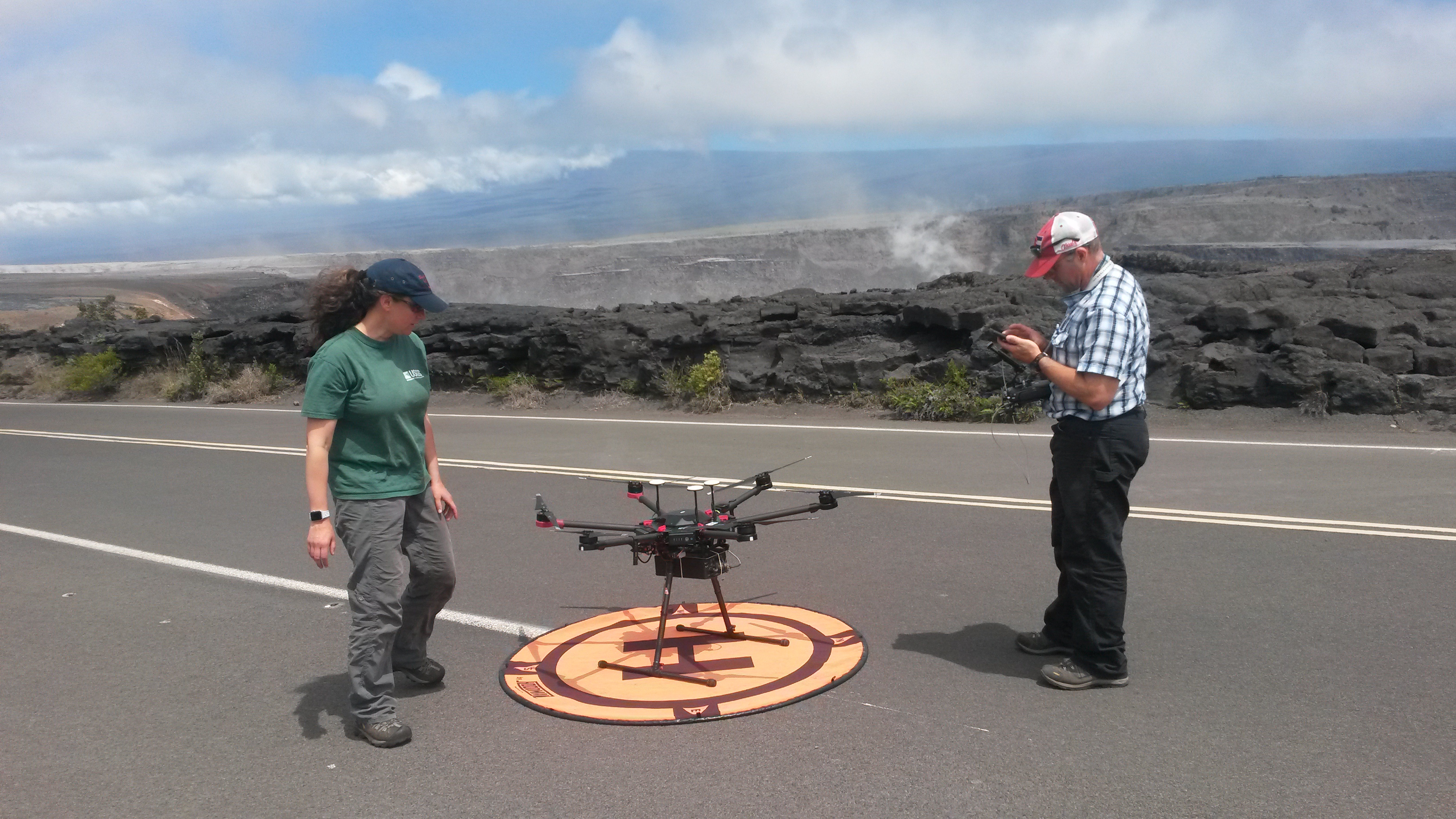
Two US Geological Survey UAS pilots perform a routine inspection of a UAS system prior to a flight at the summit of Kīlauea Volcano in June 2018. The UAS for this particular flight was outfitted with a multi-gas sensor to identify any new degassing sources within the collapsing summit caldera. All UAS flights inside Hawaiʻi Volcanoes National Park were conducted with the explicit permission of the National Park Service. USGS photo by P. Nadeau.
The most basic capability of the UAS during the 2018 eruption was simple video imaging and streaming. This allowed for documentation of eruptive features that would not otherwise have been accessible for study due to hazardous conditions.
In a more practical sense, UAS imaging also offered enhanced situational awareness for the eruption response. UAS images helped identify where new lava breakouts were happening or were likely to occur. In one instance, a USGS UAS helped with the evacuation of a Puna resident as a lava flow quickly approached.
Some of the UAS were outfitted with thermal cameras, which provided images that were used to create detailed maps of the lava flows. Thermal imagery was also used to identify the hottest, most active portions of the flow field, which was particularly useful when visible images were not able to differentiate between slightly older and slightly newer flows.
More technical applications of UAS-based imaging included the creation of digital elevation models (DEMs) and measurements of lava flow speeds within channels. By using imagery to determine the height of newly emplaced lava, the new DEMs could be compared to pre-eruption DEMs to calculate the volume of lava erupted.
At Kīlauea’s summit, DEMs helped HVO assess the new landscape of the collapsing caldera and determine just how much collapse was occurring. Along the rift zone, videos taken above fast-flowing lava channels helped with calculations of how much and how quickly lava was erupting from the fissures.
Beyond the UAS imaging opportunities, the 2018 eruption was the first time that the USGS mounted gas sensors on UAS in Hawaii. The fissures were too dangerous to approach on foot to measure the gas chemistry, but a multi-gas sensor mounted on a UAS helped determine the chemistry of the eruptive plumes.
Likewise, at the summit, with collapse events and potential explosion hazards, ground-based gas measurements within Kīlauea caldera were not possible. UAS-based measurements were the only safe method for measuring the location, chemistry, and amount of volcanic gas released at the summit.
Having UAS capabilities for the 2018 eruption enabled HVO to obtain crucial data that would otherwise have been difficult or impossible to obtain. However, you may have noticed that while this article refers to UAS teams from across the USGS traveling to Hawaiʻi for the eruption response, it makes no mention of in-house HVO pilots. That’s because, in 2018, HVO didn’t have any certified UAS pilots with the skills required for flying in hazardous areas. But that will change in the coming months.
Several HVO staff members will become licensed UAS operators later this year, allowing HVO to add UAS capabilities to our monitoring repertoire. We will then be able to use UAS to aid in our mission-critical monitoring work and will be poised to deploy UAS at a moment’s notice to collect important datasets the next time a Hawaiian volcano acts up.
Volcano Watch is a weekly article and activity update written by US Geological Survey Hawaiian Volcano Observatory scientists and affiliates.
Volcano Activity Updates
Kῑlauea Volcano is not erupting and its USGS Volcano Alert level remains at NORMAL. For definitions of USGS Volcano Alert Levels, see https://volcanoes.usgs.gov/vhp/about_alerts.html.
Rates of deformation, gas release, and seismicity on Kīlauea have not changed significantly over the past week.
Since early March, GPS stations and tiltmeters at Kīlauea’s summit have recorded deformation consistent with slow magma accumulation within the shallow portion of the summit magma system. However, gas measurements have not indicated shallowing of large volumes of magma.
On Kīlauea’s East Rift Zone, GPS stations and tiltmeters continue to show motions consistent with refilling of the deep magmatic reservoir in the broad region between Puʻu ʻŌʻō and Highway 130. This trend has been observed since the end of the 2018 eruption, although there is an indication that this motion has been slowing down over the past couple weeks.
Sulfur dioxide emission rates on Kīlauea’s ERZ and summit remain low, but HVO continues to closely monitor gas emissions in both areas for any changes.
Two earthquakes with three or more felt reports occurred in Hawaiʻi this past week: a magnitude-2.8 quake 4 km (2.5 mi) southwest of Volcano Village at -0.2 km (-0.1 mi) depth on June 6 at 3:01 a.m. HST, and a magnitude-2.8 quake 18 km (11.2 mi) east of Hōnaunau-Nāpōʻopoʻo at 8 km (5 mi) depth on June 2 at 11:32 p.m. HST.
Hazards remain at the lower ERZ and summit of Kīlauea. Residents and visitors near the 2018 fissures, lava flows, and summit collapse area should heed Hawai‘i County Civil Defense and Hawaiʻi Volcanoes National Park closures and warnings. Hawaiʻi County Civil Defense advises that lava flows from the 2018 eruption are primarily on private property; people are asked to be respectful and to not enter or park on private property.
The USGS Volcano Alert level for Mauna Loa remains at NORMAL.
HVO continues to closely monitor both Kīlauea and Mauna Loa for any signs of increased activity.
Sponsored Content