

UH uses drone technology to aid in Native Hawaiian fishpond restoration, resilience

Scientists and kiaʻi loko (fishpond practitioners) have a new tool to aid their efforts to restore and ensure the resilience of Native Hawaiian fishponds. Researchers from the University of Hawai‘i and fishpond stewards in Hilo, are using uncrewed aerial vehicles (UAVs), commonly known as drones, to support integrated coastal zone management, including at cultural heritage sites. The study was published in the Journal of Remote Sensing.
“We discovered that drones are effective and cost-efficient tools for mapping loko iʻa at the community level, providing kiaʻi loko iʻa with better insights into the timing and locations of flooding and future sea level rise impacts on their fishponds,” said Kainalu Steward, lead author of the study and Earth sciences doctoral student in the UH Mānoa School of Ocean and Earth Science and Technology (SOEST).
Loko iʻa, traditional Hawaiian fishponds located along the coastline, have historically provided sustainable seafood sources. These culturally important sites are undergoing revitalization through community-driven restoration efforts. However, as sea-level rise poses a significant climate-induced threat to coastal areas, loko iʻa managers are seeking adaptive strategies to address related concerns such as flooding, water quality, and the viability of native fish species.
King Tides as estimate of future sea level
The researchers’ surveys determined that by 2060, the average sea level along the Keaukaha coastline in Hilo will be similar to the extreme tidal events, known as King Tides, during summer 2023. Steward and Brianna Ninomoto, a master’s student in tropical conservation biology and environmental science at UH Hilo, devised a plan to investigate how future sea-level rise will affect loko iʻa by assessing the impacts of the summer 2023 King Tides.
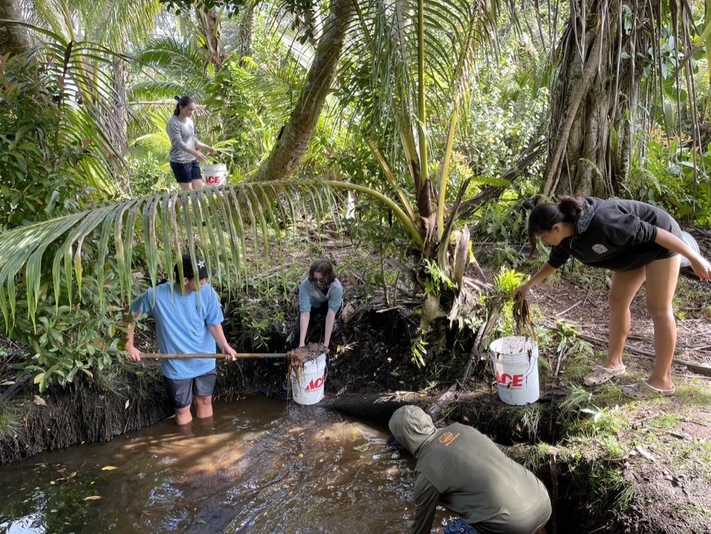
Throughout the summer, including during the extreme high tide events, researchers collected drone imagery in real time and monitored water levels using sensors submerged at each loko iʻa. They compared flooding predicted from drone-derived topography models and more commonly used Light Detection and Ranging (LiDAR)-derived models to the observed flooding documented by drone imagery.
The team found that digital elevation models derived from drone surveys accurately estimated observed flooding during extreme high tide events, whereas LiDAR flood models, which are nearly 20 years old for the Hilo region, significantly overestimated observed flooding by 2–5 times. Loko iʻa practitioners, however, reported that occasionally during severe weather and large swell events, these particular areas modeled from LiDAR data do flood. This suggests that data collected by LiDAR offers a more conservative and cautious understanding of coastal flooding, emphasizing that data collected by drone and LiDAR are important components when forecasting and managing the areas.

Supporting Native Hawaiian scientists, community
Funding for this research was awarded through NASA’s Minority University Research and Education Project (MUREP) for the project, “Quantifying Vulnerability to Sea Level Rise Across Multiple Coastal Typologies,” led by co-author and SOEST Assistant Professor of Earth Sciences Haunani Kane. The program engages underrepresented populations through a wide variety of initiatives. Multiyear grants are awarded to assist Minority Institution faculty and students in research related to pertinent missions.
“One of the goals of this project is to increase the capacity of Native Hawaiian students in assessing and evaluating impacts of sea level rise upon cultural resource sites,” said Kane. “This project supports five undergraduate students and three local Native Hawaiian students as they work towards obtaining their master’s and doctorate degrees in science at the University of Hawaiʻi.”
“This research is important for enhancing coastal community adaptation, resilience, and food security in the face of climate change,” said Ninomoto. “This work was ultimately done to support loko iʻa practitioners along Keaukaha and the future management of their ʻāina as the impacts of flooding become more severe.”
Another component of the NASA-funded project is storytelling and outreach to the community. John Burns, study co-author and UH Hilo associate professor in marine science and data science, and the MEGA Lab have a community lab space at Mokupāpapa Discovery Center in Downtown Hilo where the research team uses virtual reality and short films to share stories and engage the community in discussions of how climate change is impacting coastal resources in Hawaiʻi.
UH researchers plan to continue working with the kiaʻi loko iʻa in Keaukaha, to provide up-to-date aerial imagery of their fishpond to support restoration efforts.
“Loko iʻa are examples of how our kūpuna have adapted to changes in climate for generations, and we want to contribute towards their resilience and perpetuation by integrating modern technology,” said Steward.
Sponsored Content


