

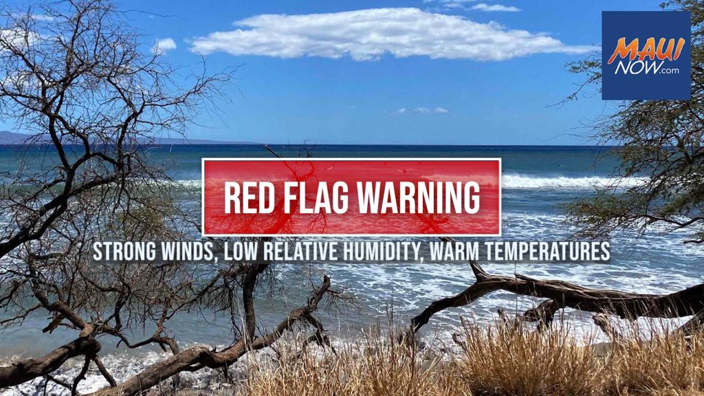
Red Flag Warning issued through Saturday afternoon for mainly leeward areas
The National Weather Service has issued a Red Flag Warning from noon today through Saturday afternoon for mainly leeward areas due to windy conditions and low humidity.
The NWS reports that dry and windy conditions will develop as high pressure moves east and strengthens north of the islands. This will coincide with pockets of drier air moving into the region each day, likely producing critical fire weather conditions across most leeward and some central areas, as well as northern portions of the Big Island.
The main fire weather concerns will be this afternoon and again from late morning through the afternoon on both Friday and Saturday when relative humidity is lowest.
The NWS forecast calls for east winds of 15-25 mph and gusts up to 35 mph today. For Friday, we can expect east winds blowing at 20-35 mph with gusts up to 50 mph; and for Saturday, the forecast calls for east winds of 15-25 mph with gusts to 35 mph.
Relative humidity is expected to be as low as 40%.
A Red Flag Warning means that critical fire weather conditions are either occurring now or will shortly. A combination of strong winds, low relative humidity, and warm temperatures can contribute to extreme fire behavior. A Red Flag Warning does not predict new fire starts.
Sponsored Content


