

Remnant showers and windy summits as kona low exits to the north
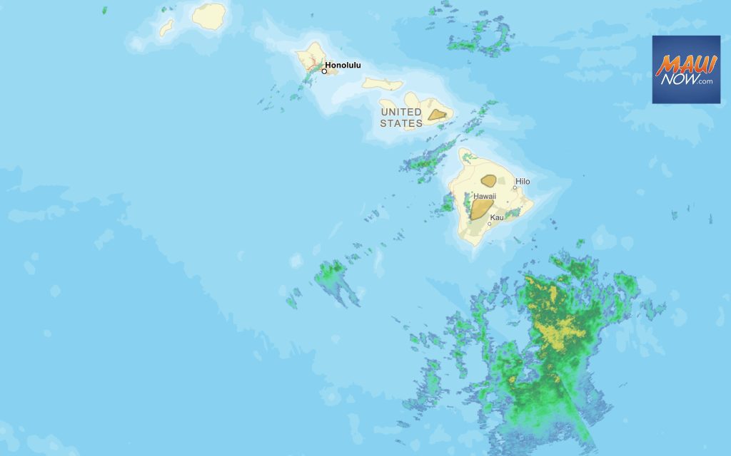
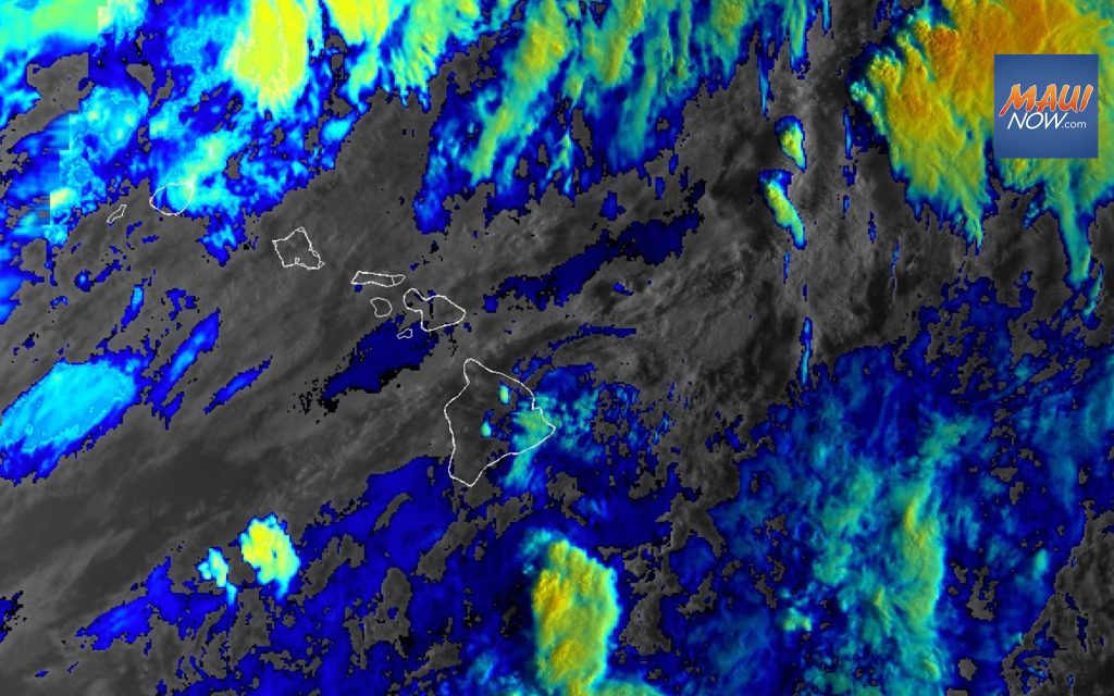
As the kona low exits to the north of the Hawaiian Islands, remnant bands of moderate showers continue over Leeward Big Island and Maui while conditions improve elsewhere, according to an update from the National Weather Service. Toward the latter end of the week, another threat of heavy rain is anticipated as low pressure develops west of the islands.
The National Weather Service has extended a High Wind Warning for the summit of Haleakalā on Maui and the Big Island summits until 6 p.m. The forecast calls for winds of 40-50 mph and gusts of up to 65 mph at Haleakalā, and gusts of up to 100 mph on the Big Island.
The NWS reports that remnant bands of moderate showers continue to affect leeward Big Island and portions of Maui County, and are expected to persist through at least tonight and possibly through Tuesday. Recent observations indicate hourly rainfall rates remain below a tenth of an inch across both islands.
Sponsored Content


