Community encouraged to attend July 14 meeting on SMA boundary assessment project for Maui
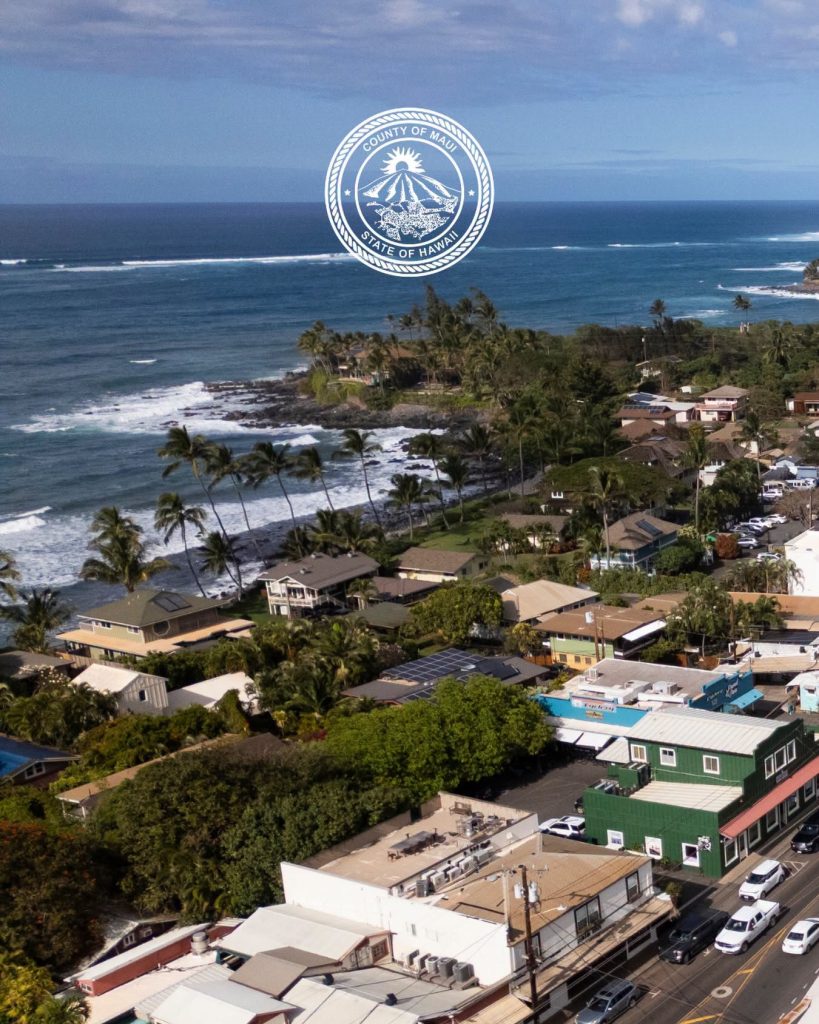
The County of Maui Department of Planning invites community members to learn about the Special Management Area (SMA) boundary assessment project for the island of Maui by attending the Maui Planning Commission meeting at 9 a.m. Tuesday, July 14, 2026.
“This is an important opportunity for the community to learn about the project at its early stages and help shape the discussion,” County Planning Director Jacky Takakura said. “At this meeting, we will introduce the project, explain the work ahead and encourage public participation throughout the process.”
Community members are encouraged to watch the meeting, submit testimony and stay engaged as the project progresses.
- Maui Planning Commission meeting, 9 a.m. Tuesday, July 14, 2026
- Agenda item: Special Management Area (SMA) Boundary Assessment Status Update
- Location: Online via Teams; in person at Kalana Pakui conference room, 250 S. High St., Wailuku
- Meeting agenda: https://tinyurl.com/3deca9jr
Hawaiʻi state law (HRS §205A) gives counties the authority to establish the SMA, which sets special controls on development near the shoreline to preserve, protect, and where possible, restore the cultural and natural resources of the coastal zone.
The SMA boundary map for Maui island was first adopted on Nov. 19, 1975, and last updated on Dec. 28, 1979. Since then, the island has seen significant shifts in coastal erosion patterns, sea-level rise projections, land use and community priorities.
The current project will assess whether Maui’s existing boundary continues to effectively achieve the objectives of HRS §205A while considering evolving environmental conditions, scientific information, cultural resources, and legal requirements. The project will also evaluate how the current boundary functions in practice and examine approaches used elsewhere in Hawaiʻi and across the country.
At the meeting, the Planning Department will go over the current SMA boundary and review the proposed research and methodology that will guide the assessment. The presentation will introduce the consultant team from SSFM International, provide project background and seek preliminary feedback from the Planning Commission for consideration as the project moves forward. No action will be taken at this meeting.
The assessment is expected to continue through 2027 and includes multiple opportunities for public involvement. Future phases will include development of potential criteria for a new boundary, geospatial analysis, a draft technical report and additional opportunities for public review before any recommendations are considered by the Planning Commission.
For general information on the County Planning Department, visit www.mauicounty.gov/planning.
Sponsored Content