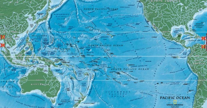
National Geographic Giant Traveling Map Comes to Hawaii
By Wendy Osher
Hawai’i Students will dive into the wonders of the Pacific Ocean with one of the world’s largest maps of the area.
The National Geographic map, which measures 26- by 35-feet, provides students with a fun, interactive experience for the study of geography.
The map curriculum was developed and funded by two $1 million Oracle Commitment Grants. It will be on loan to Hawaii schools through December 6, 2012.
The loan is made possible through a partnership between Maui Economic Development Board’s Women In Technology program, the Hawaii Geographic Alliance, and the Hawaii Geographic Information Coordinating Council.
Students are able to explore everything from the deepest place on earth, the Mariana Trench, to the world’s tallest mountain, Hawaii’s Mauna Kea, which has its base on the ocean floor; and the Great Barrier Reef, the largest living structure in the world.
“We are excited to share this map with our Hawai’i schools throughout the state of Hawai’i. Inspiring the next generation of spatially literate & engaging Hawaii STEM students is our priority. It is an honor to partner with National Geographic Education, HIGICC, and the Hawaii Geographic Alliance to help make it happen,” said Isla Young director of K12 STEM Education for MEDB’s Women In Technology Project.
National Geographic’s Giant Traveling Maps program was introduced in 2006 and now includes interactive maps from Africa, North America, Asia and South America, and the Pacific Ocean. It is estimated that more than 400,000 students will interact with one of these maps in the 2012-2013 school year.


