NW Shifting, Trade Swell Continues

Image: John O’Leary
Alerts
A Small Craft Advisory is posted for most Maui County channels and windward waters through 6 p.m. Friday for east to southeast winds up to 25 knots and rough seas up to 9 feet.
Check our breaking news section for any urgent weather alerts.
**Click directly on the images below to make them larger. Charts include: Maui County projected winds, tides, swell direction & period and expected wave heights.**
 Maui Surf Forecast
North: Wave heights are expected to be chest/head high out of the north-northwest with occasional overhead sets. Our trade swell continues for the Hana side with chest high to overhead surf.
West: Wave heights waist/chest high are expected today. The best breaks could get up to shoulder high on the sets. Spots shadowed by other islands will be pretty flat.
South: Wave heights waist/chest high today. The best breaks could get up to shoulder high. Breaks open to the trade swell could get up to chest/head high or bigger on the sets east on Hana/Wailua side.
 Our current swell has shifted northwest and is expected to shift farther out of the north-northwest on Friday. Saturday the swell starts a downward trend. A small northwest is expected Sunday into Monday.
Trade swell holds through the week with head high to overhead surf.
A new south-southwest is expected to peak Friday and Saturday around waist/chest high and fade Sunday. Nothing of note otherwise.
Keep in mind, surf heights are measured on the face of the wave from trough to crest. Heights vary from beach to beach, and at the same beach, from break to break.
**Click here for your detailed Maui County weather report.**
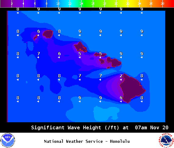
Image: NOAA / NWS
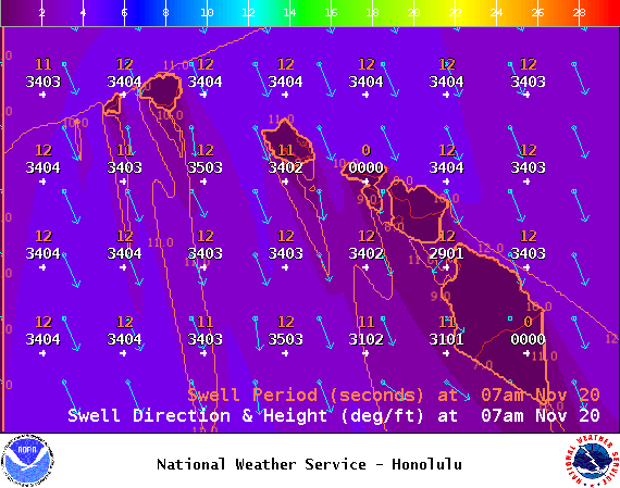
Image: NOAA / NWS
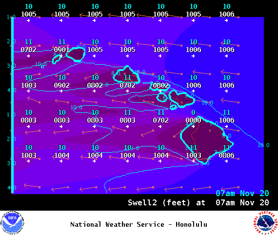
Image: NOAA / NWS

Image: NOAA / NWS
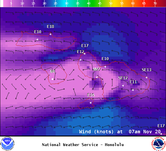
Image: NOAA / NWS
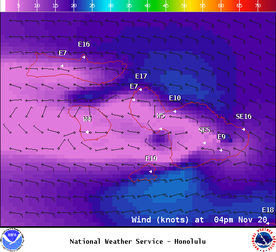
Image: NOAA / NWS
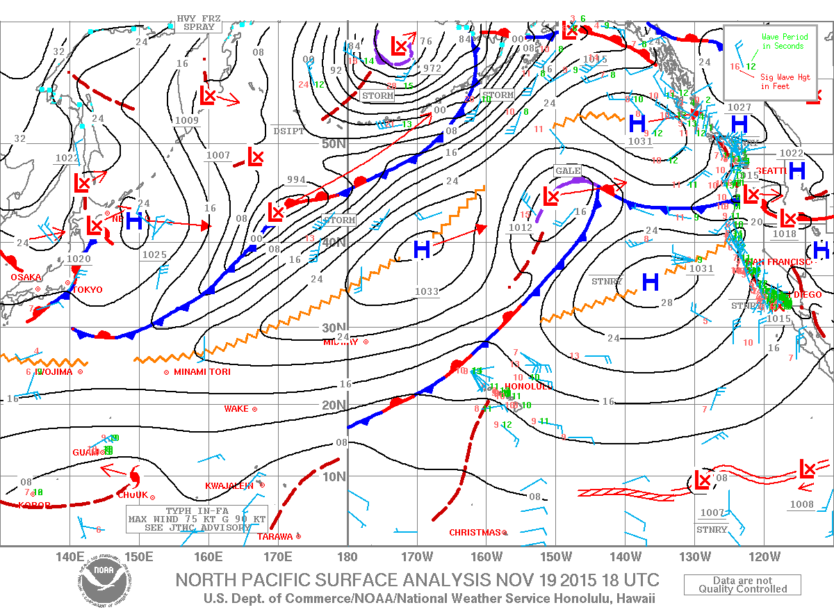
Image: NOAA / NWS
Sponsored Content