

WEEKEND SURF: Swell Fades as Another Builds
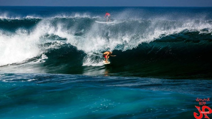
Ho’okipa yesterday 1.16.15 / Image: Jimmie Hepp
By Meteorologist Malika Dudley / Email: malika@mauinow.com
Alerts
A High Surf Advisory is posted through 6:00 p.m. Sunday for the north and west facing shores of Moloka’i and the north shore of Maui. Surf from 15 to 20 feet is expected for the north exposures, while wave heights of 10 to 15 feet are expected for the west side of Moloka’i. Expect strong breaking waves, shore break and strong longshore and rip currents making swimming difficult and dangerous.
A Small Craft Advisory is posted for all Maui County waters (excluding Ma’alaea Bay and the Pailolo Channel) through 6:00 a.m. Sunday for rough seas up to 13 feet. Inexperienced mariners should avoid navigating in these conditions.
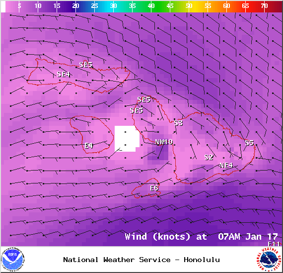
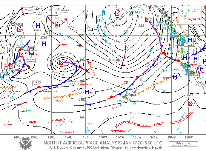
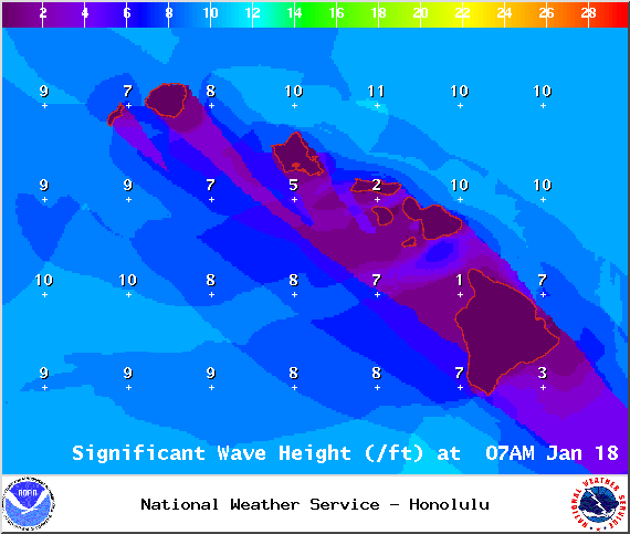
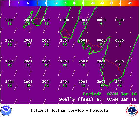
**Click directly on the images below to make them larger. Charts include: Maui County projected winds, forecasted swell direction, height & period, tides, a surface map and expected wave heights.**
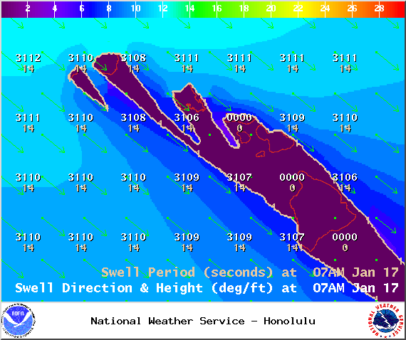
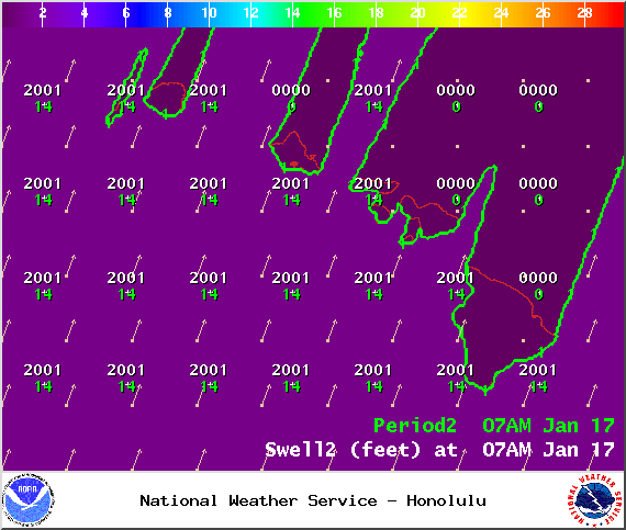
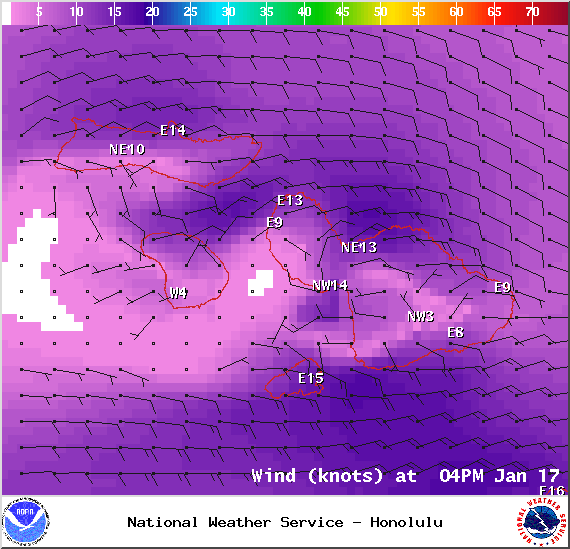
 Maui County Surf Forecast, Saturday, January 17, 2015
North: Surf heights are expected overhead to double overhead. The best breaks, especially spots east of Ho’okipa, will be even bigger, possibly to 16 foot faces by the end of the day. Nice conditions early with our light wind speeds.
West: Some spots will catch fun wrap from the west-northwest swell. Otherwise, breaks that don’t catch the swells, and / or are shadowed from them, are forecasted to get smaller surf at ankle high or flat.
South: Ankle high surf is expected. Most spots are flat.
 Our current west-northwest swell is expected to continue to fade as a new west-northwest reinforcement is builds today, peaking late in the day and fading through Sunday.
Another west-northwest is on tap for Tuesday.
Pending development, models are predicting a much larger west-northwest swell arriving around the middle of next week, producing surf well above warning levels. In addition to our usual spots, Lāna’i may be affected by this swell as well. Will keep an eye on it.
Nothing of note out of the SPAC to get excited about.
Keep in mind, surf heights are measured on the face of the wave from trough to crest. Heights vary from beach to beach, and at the same beach, from break to break.
**Click here for your detailed Maui County weather report.**

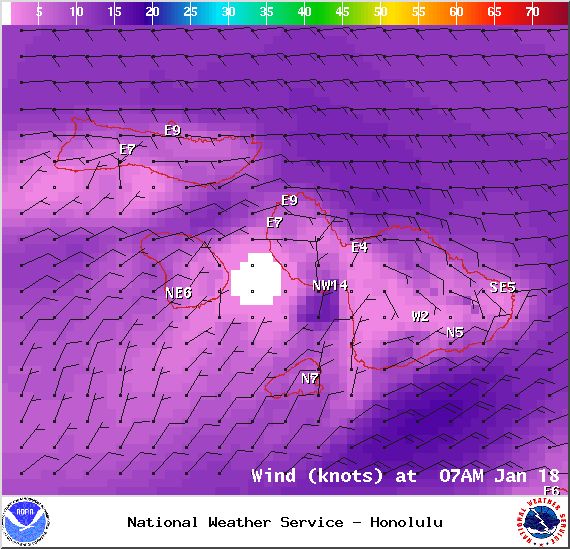
Saturday – Image: NOAA / NWS
Saturday – Image: NOAA / NWS
Saturday – Image: NOAA / NWS
Saturday – Image: NOAA / NWS
Saturday – Image: NOAA / NWS
Saturday – Image: NOAA / NWS
Sunday – Image: NOAA / NWS

Sunday – Image: NOAA / NWS
Sunday – Image: NOAA / NWS
Sunday – Image: NOAA / NWS
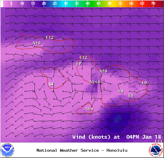
Sunday – Image: NOAA / NWS
Sponsored Content


